

The Illinois State Water Survey is partnering with the Federal Emergency Management Agency (FEMA) to examine the flood risk along five creeks in Lawrence County.
They are Brushy Creek, Muddy Creek, Shirley Creek, Indian Creek and the Indian Creek tributary.
Survey crews will be operating along those creeks beginning this month of May and continuing throughout the summer. The surveyors will be getting channel and bridge measurements along with topographic elevations and photographs within and around the creek banks to be used in computer models estimating the potential flooding threat.
The study will also be used to improve and update the Flood Insurance Rate Maps (FIRM) for Lawrence County. No property disruptions are anticipated.
 IDEM recycling grants available
 Lawrence County arrests
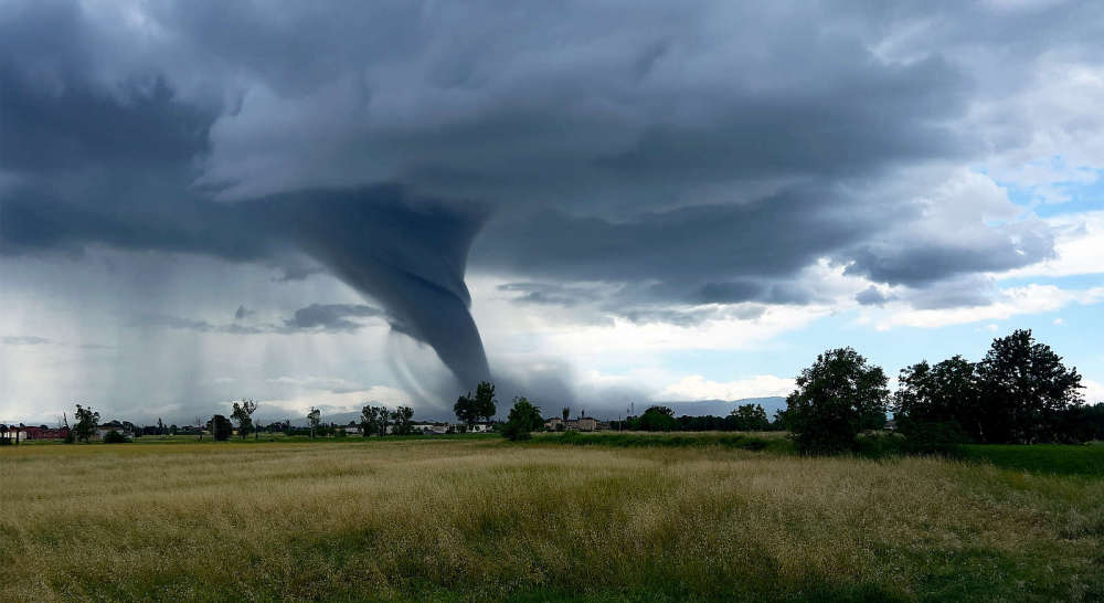 Storm system rolls through southeastern Illinois and southwestern Indiana
 New PIO officer announced for Indiana State Police Evansville District
 Valentine seeks change of venue for murder trial
 Indiana Gov. Braun declares state of disaster emergency for 63 Indiana counties
 Newton power plant to be closed
 Lawrence County Board approves public safety tax referendum
 Library district in solid financial shape
 U.S. 41 road project continues in Knox County
 Richland County death investigation
 Vantlin named Heeps of Jeeps First Responder of the Year
 Vincennes University to upgrade Beckes Park
 Lawrenceville sewage plant visited by U.S. EPA
 Two dead after head-on collision in Crawford County
 First-ever statewide digital library resource program available in Illinois
 Knox County approving preliminary solar project resolution