

The Illinois State Water Survey is partnering with the Federal Emergency Management Agency (FEMA) to examine the flood risk along five creeks in Lawrence County.
They are Brushy Creek, Muddy Creek, Shirley Creek, Indian Creek and the Indian Creek tributary.
Survey crews will be operating along those creeks beginning this month of May and continuing throughout the summer. The surveyors will be getting channel and bridge measurements along with topographic elevations and photographs within and around the creek banks to be used in computer models estimating the potential flooding threat.
The study will also be used to improve and update the Flood Insurance Rate Maps (FIRM) for Lawrence County. No property disruptions are anticipated.
 Plymouth City Council approves updated MOU for School Resource Officers
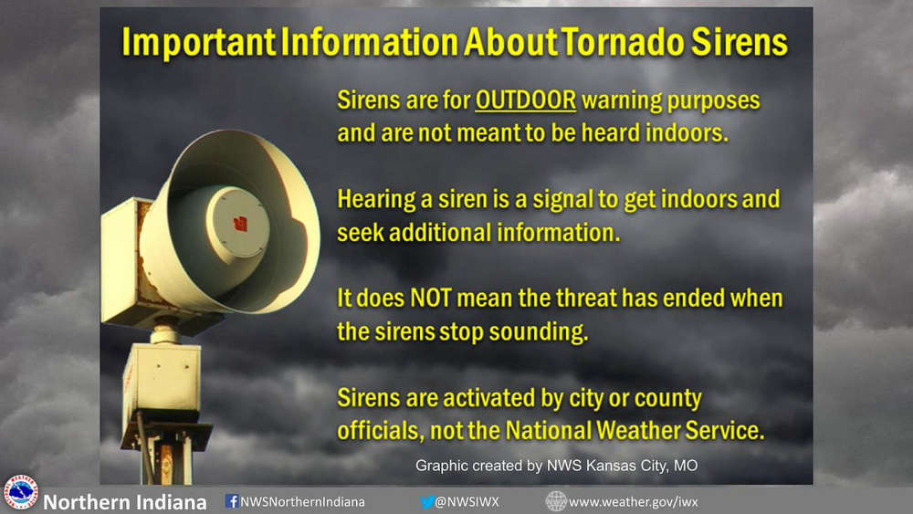 Marshall County EMA seeks public input on future of outdoor warning sirens
 Plymouth City Council approves additional appropriations for Fire Department Uniforms and Hoham Drive Project
 Plymouth High School hosts powerful mock crash demonstration ahead of prom
 Free Car Seat Safety Inspections offered this Saturday in Plymouth
 "Twilight Tunes: Dueling Pianos" brings interactive musical fun to The REES Theatre
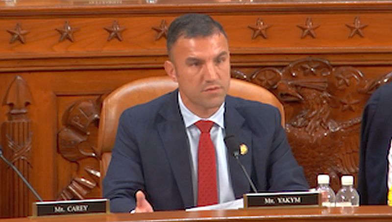 CongressmanYakym presses hospital executives
 Governor Braun announces IN AI to grow jobs and wages through Human-Centered AI