


The Illinois State Water Survey is partnering with the Federal Emergency Management Agency (FEMA) to examine the flood risk along five creeks in Lawrence County.
They are Brushy Creek, Muddy Creek, Shirley Creek, Indian Creek and the Indian Creek tributary.
Survey crews will be operating along those creeks beginning this month of May and continuing throughout the summer. The surveyors will be getting channel and bridge measurements along with topographic elevations and photographs within and around the creek banks to be used in computer models estimating the potential flooding threat.
The study will also be used to improve and update the Flood Insurance Rate Maps (FIRM) for Lawrence County. No property disruptions are anticipated.
 Southwestern's Newton earns IBCA scholarship
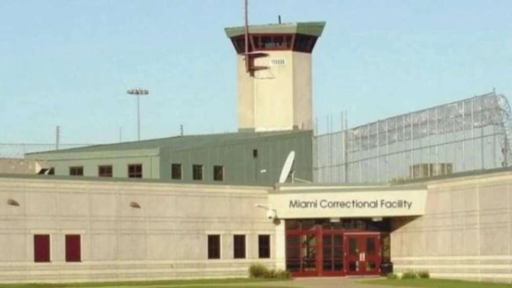 ACLU of Indiana finalizes $1.2 Million in settlements over abuse at Miami Correctional Facility
 Royal Center man charged with child molesting
 Ride the Lightning fundraiser gains three volunteers
 Hundreds of thousands of dollars in wiring recovered in Pulaski County, two detained
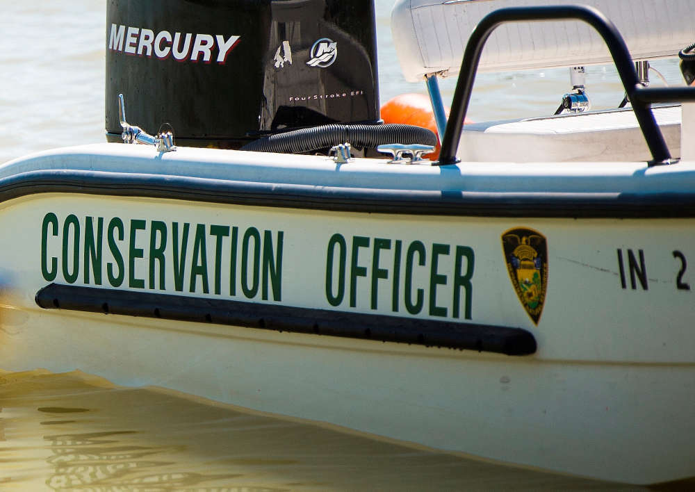 Boating restriction on Lake Wawasee lifted
 ISP announces Peru Post not available for Drug TakeBack
 Fulton County Sheriff's Office K9 Rapid receives special supplies