The Illinois State Water Survey is partnering with the Federal Emergency Management Agency (FEMA) to examine the flood risk along five creeks in Lawrence County.
They are Brushy Creek, Muddy Creek, Shirley Creek, Indian Creek and the Indian Creek tributary.
Survey crews will be operating along those creeks beginning this month of May and continuing throughout the summer. The surveyors will be getting channel and bridge measurements along with topographic elevations and photographs within and around the creek banks to be used in computer models estimating the potential flooding threat.
The study will also be used to improve and update the Flood Insurance Rate Maps (FIRM) for Lawrence County. No property disruptions are anticipated.
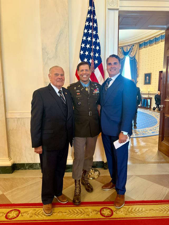 Congressman Baird ioins President Trump for Medal of Honor ceremony for Major Nicholas Dockery
 May unemployment rate in state still below national average
 IDEM recycling grants available
 Indiana Gov. Braun declares state of disaster emergency for 63 Indiana counties
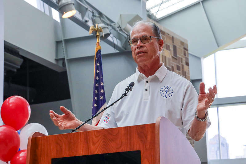 Gov. Braun unveils Indiana’s exhibit for the National Mall during The Great American State Fair
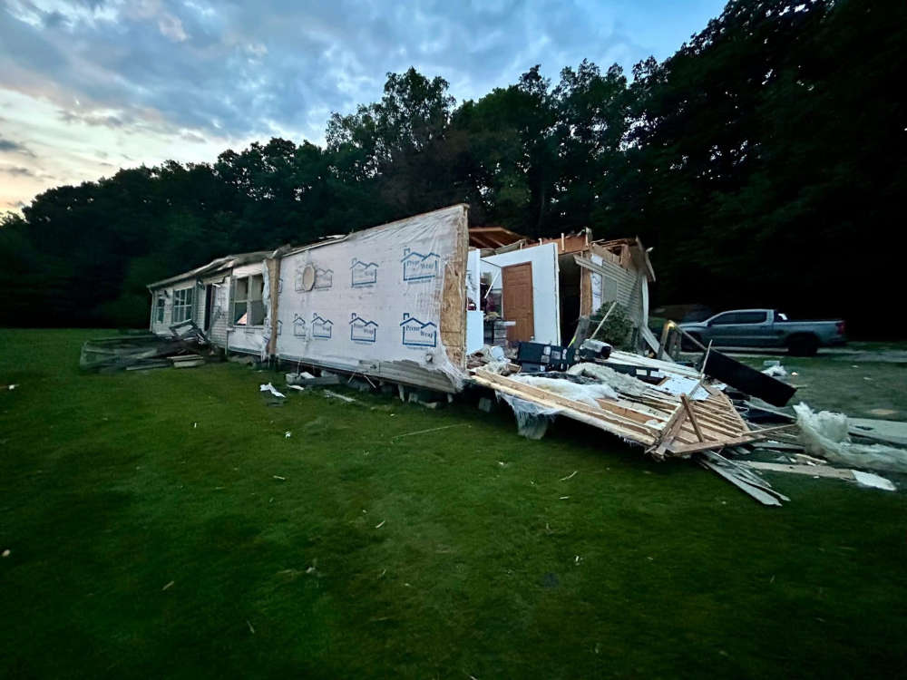 Putnam County dodges severe impact from Wednesday storms
 Nominations now open for farmers and ranchers to serve on USDA Farm Service Agency county committees