

The National Weather Service has issued a STRONG THUNDERSTORM WILL IMPACT MARSHALL COUNTY at about 5:15 PM.
At 427 PM EDT/327 PM CDT/, Doppler radar was tracking a strong
thunderstorm near Ora, or 9 miles northeast of Winamac, moving
northeast at 30 mph.
HAZARD...Wind gusts up to 50 mph and half inch hail.
SOURCE...Radar indicated.
IMPACT...Gusty winds could knock down tree limbs and blow around unsecured objects. Minor hail damage to vegetation is possible.
Locations impacted include...
Plymouth, Bremen, Knox, Bourbon, Argos, Culver, Walnut, Tippecanoe,
Oak Grove, Monterey, Leiters Ford, Ober, Twin Lakes, Inwood, Rutland,
Burr Oak, Maxinkuckee, Hibbard, Winona, and Delong.
PRECAUTIONARY/PREPAREDNESS ACTIONS...
If outdoors, consider seeking shelter inside a building.
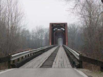 Wabash Cannonball Bridge to be closed for one week for repairs
 Lawrence County man charged with sex crimes
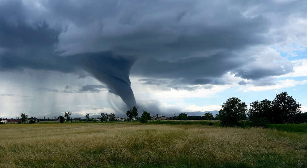
 Two tornadoes confirmed in Lawrence County
 LCMH receives USDA federal grant for $450,000
 IDEM recycling grants available
 Lawrence County arrests
 Storm system rolls through southeastern Illinois and southwestern Indiana
 New PIO officer announced for Indiana State Police Evansville District
 Valentine seeks change of venue for murder trial
 Indiana Gov. Braun declares state of disaster emergency for 63 Indiana counties
 Newton power plant to be closed
 Lawrence County Board approves public safety tax referendum
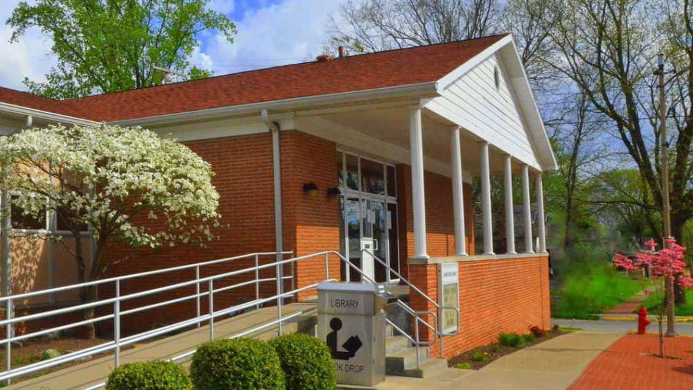 Library district in solid financial shape
 U.S. 41 road project continues in Knox County
 Richland County death investigation
 Vantlin named Heeps of Jeeps First Responder of the Year
 Vincennes University to upgrade Beckes Park
 Lawrenceville sewage plant visited by U.S. EPA