


The National Weather Service has issued a STRONG THUNDERSTORM WILL IMPACT MARSHALL COUNTY at about 5:15 PM.
At 427 PM EDT/327 PM CDT/, Doppler radar was tracking a strong
thunderstorm near Ora, or 9 miles northeast of Winamac, moving
northeast at 30 mph.
HAZARD...Wind gusts up to 50 mph and half inch hail.
SOURCE...Radar indicated.
IMPACT...Gusty winds could knock down tree limbs and blow around unsecured objects. Minor hail damage to vegetation is possible.
Locations impacted include...
Plymouth, Bremen, Knox, Bourbon, Argos, Culver, Walnut, Tippecanoe,
Oak Grove, Monterey, Leiters Ford, Ober, Twin Lakes, Inwood, Rutland,
Burr Oak, Maxinkuckee, Hibbard, Winona, and Delong.
PRECAUTIONARY/PREPAREDNESS ACTIONS...
If outdoors, consider seeking shelter inside a building.
 Indiana State Fair closed down by storms
 Gov. Braun directs state resources to support impacted communities
 The Bodega celebrates two year anniversary in Greencastle
 National 811 Day reminds you to call before you dig
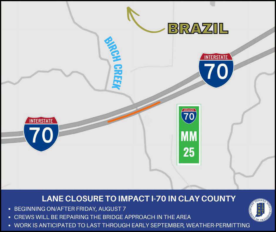 Lane closure to impact I-70 eastbound in Clay County