


The Illinois State Water Survey is partnering with the Federal Emergency Management Agency (FEMA) to examine the flood risk along five creeks in Lawrence County.
They are Brushy Creek, Muddy Creek, Shirley Creek, Indian Creek and the Indian Creek tributary.
Survey crews will be operating along those creeks beginning this month of May and continuing throughout the summer. The surveyors will be getting channel and bridge measurements along with topographic elevations and photographs within and around the creek banks to be used in computer models estimating the potential flooding threat.
The study will also be used to improve and update the Flood Insurance Rate Maps (FIRM) for Lawrence County. No property disruptions are anticipated.
 Tree Trot registration now open
 Bartholomew County Comic-Con returns with creativity, activities, and fun for all ages
 Shelby County Fair searching for vendors
 City of Shelbyville announces Heavy Trash Week collection
 Red Cross calls need for blood donations urgent, Morristown blood drive Friday
 Marietta Fire Station, Blue River Trail to partner with IU on new public art and design projects
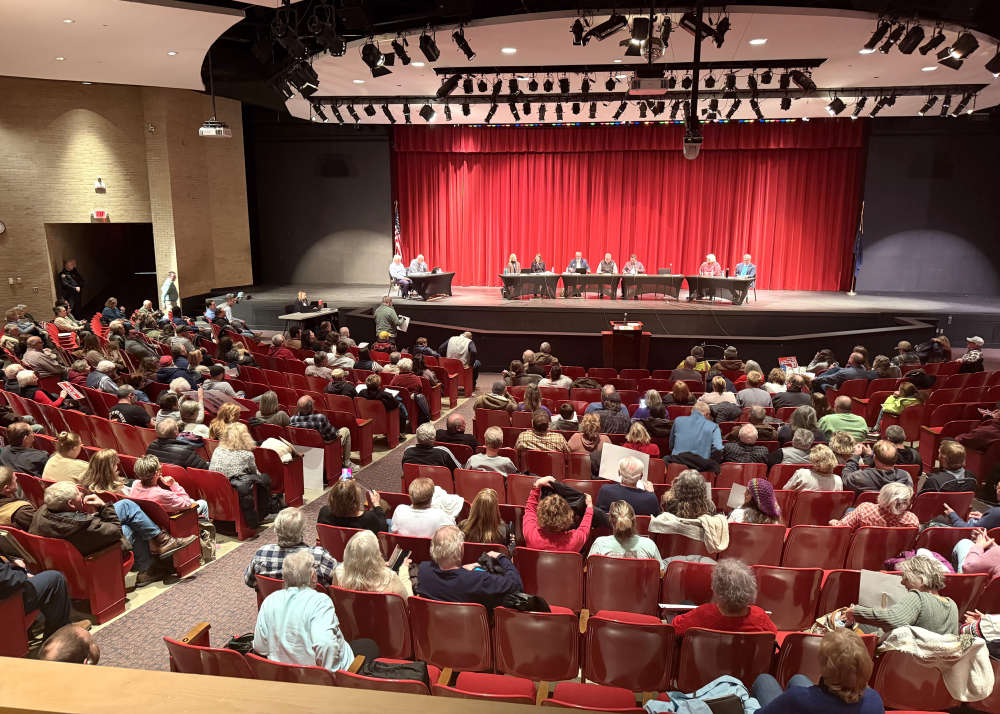 Two meetings this week regarding potential data center campus in Shelbyville
 Shelby County Sheriff warns of another scam in the area