

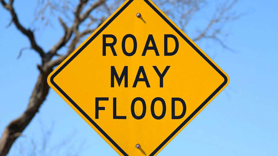
The National Weather Service has issued a Flood Watch for the entire GIANT-FM listening area until 1 a.m. CDT Tuesday.
Thunderstorms with heavy rainfall of anywhere from 2 to 3 inches will be a threat as a weather system slowly moves across the region and starts to interact with deep tropical moisture already in place over southeastern Illinois and southwestern Indiana Monday and into Tuesday, June 9th.
Excessive runoff from the anticipated rainfall could result in flooding of local and area rivers, creeks, streams and other low-lying and flood-prone locations. Those living in these areas should continue to monitor weather conditions and forecasts and be prepared to evacuate if floodwaters quickly rise.
 Bost Veterans Act passes in U.S. House of Representatives
 Health emergency declared in Knox County
 Search continues for southwestern Indiana murder suspect
 Lawrenceville moving forward toward old LHS demolition
 Lawrence County time capsule to be opened
 Lawrence County honors its' servicemen and women on Veterans Day
 Illinois State Police to conduct holiday safety patrols
 LCMH adds new team member
 Toyota Princeton plant to produce new vehicle
 Illinois to get additional federal healthcare funding
 Prep your vehicle for winter weather
 Expanded opportunities for incarcerated Hoosiers through 10-year Ivy Tech partnership
 Southwestern Indiana fatal accident victim identified
 Bridgeport to look at property ordinance revision
 Conservation officers remind hunters to prioritize safety during deer season
 Knox County caucus set to replace Streeter
 Unit 20 Board to replace football field turf