

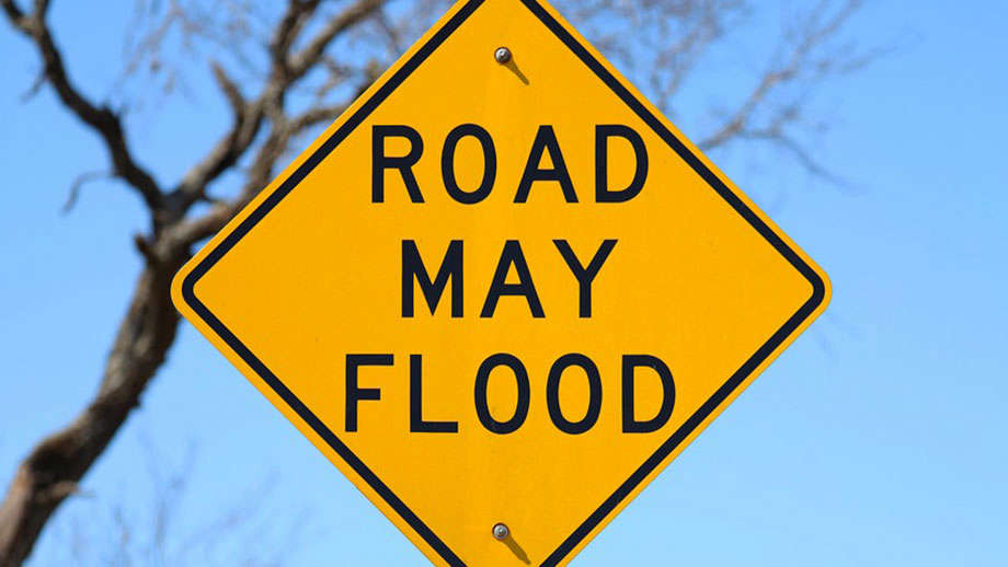
The National Weather Service has issued a Flood Watch for the entire GIANT-FM listening area until 1 a.m. CDT Tuesday.
Thunderstorms with heavy rainfall of anywhere from 2 to 3 inches will be a threat as a weather system slowly moves across the region and starts to interact with deep tropical moisture already in place over southeastern Illinois and southwestern Indiana Monday and into Tuesday, June 9th.
Excessive runoff from the anticipated rainfall could result in flooding of local and area rivers, creeks, streams and other low-lying and flood-prone locations. Those living in these areas should continue to monitor weather conditions and forecasts and be prepared to evacuate if floodwaters quickly rise.
 4C Health expands access to convenient virtual healthcare through ChatRx partnership
 Howard County receives funds for tire cleanup
 World Food Championships introduces the WFC Culinary Combine at Indianapolis this fall
 Indiana Natural Resources Commission seeks input on proposed wildlife rule changes
 Indianapolis woman sentenced to federal prison after threatening to kill United States Representative
 Monday declared Air Quality Action Day across Indiana with changing weather pattern on horizon
 U.S. Attorney’s Office hosts fraud forum, announces creation of fraud task force in Southern District of Indiana

