

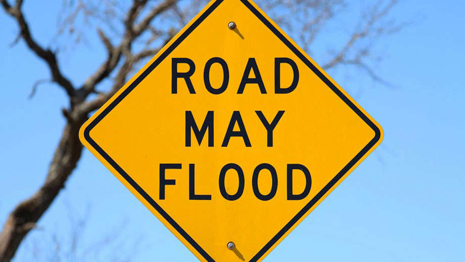
The National Weather Service has issued a Flood Watch for the entire GIANT-FM listening area until 1 a.m. CDT Tuesday.
Thunderstorms with heavy rainfall of anywhere from 2 to 3 inches will be a threat as a weather system slowly moves across the region and starts to interact with deep tropical moisture already in place over southeastern Illinois and southwestern Indiana Monday and into Tuesday, June 9th.
Excessive runoff from the anticipated rainfall could result in flooding of local and area rivers, creeks, streams and other low-lying and flood-prone locations. Those living in these areas should continue to monitor weather conditions and forecasts and be prepared to evacuate if floodwaters quickly rise.
 Body of adult recovered from swimming lake at France Park in Cass County
 Lilly Endowment Community Scholarship application available August 3
 Indiana ranks among nation's lowest for veteran unemployment
 Rochester family displaced after alleged arson
 Rochester Middle School to receive grant to fund DNR field trip
 4C Health expands access to convenient virtual healthcare through ChatRx partnership
 Marshall, Cass and Wabash counties receive funds for tire cleanup projects
 Funeral services Thursday for former North Judson coach, teacher Kevin Brown