

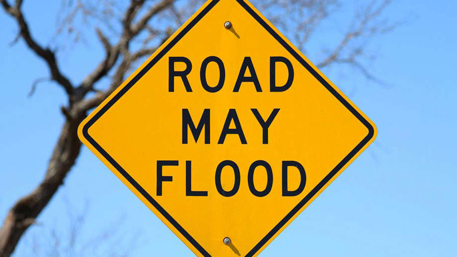
The National Weather Service has issued a Flood Watch for the entire GIANT-FM listening area until 1 a.m. CDT Tuesday.
Thunderstorms with heavy rainfall of anywhere from 2 to 3 inches will be a threat as a weather system slowly moves across the region and starts to interact with deep tropical moisture already in place over southeastern Illinois and southwestern Indiana Monday and into Tuesday, June 9th.
Excessive runoff from the anticipated rainfall could result in flooding of local and area rivers, creeks, streams and other low-lying and flood-prone locations. Those living in these areas should continue to monitor weather conditions and forecasts and be prepared to evacuate if floodwaters quickly rise.
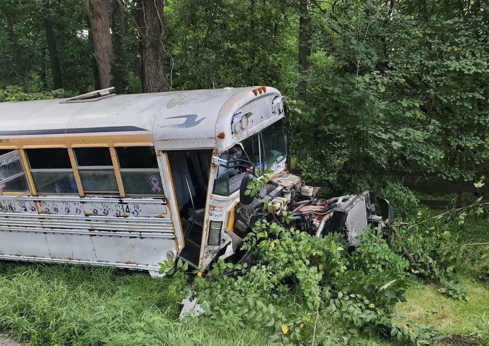 Canoe rental bus - Jeep crash with multiple injuries Friday
 World Food Championships introduces the WFC Culinary Combine at Indianapolis this fall
 Trail expansion celebrated with Indiana DNR in Parke County
 Indiana Natural Resources Commission seeks input on proposed wildlife rule changes
 Ivy Tech Terre Haute / Greencastle to enhance dual enrollment with local foundation grants
 Monday declared Air Quality Action Day across Indiana with changing weather pattern on horizon
 U.S. Attorney’s Office hosts fraud forum, announces creation of fraud task force in Southern District of Indiana
 The 2026 Indiana State Fair debuts new attractions, entertainment and family fun
 Indiana customers to receive $350,000 in bill assistance from Duke Energy this summer
 Car collectors can go retro with an authentic model year license plate
 Phase II complete on Parke County Rail Trail
 Lineup of 50 new food creations featured during this year's Indiana State Fair
 Indiana wrapping up recounts in three legislative races
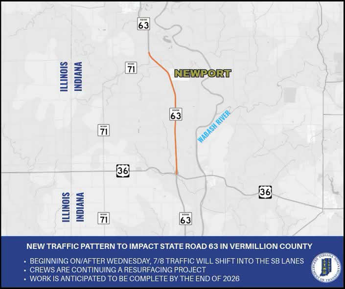 New traffic pattern to impact State Road 63 in Vermillion County
 Garth Brooks announces The Blame It All On My Roots Tour kicking off at Gainbridge Fieldhouse
 THPD Make Arrest Connected to Bank Robbery