

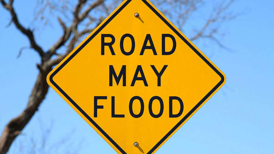
The National Weather Service has issued a Flood Watch for the entire GIANT-FM listening area until 1 a.m. CDT Tuesday.
Thunderstorms with heavy rainfall of anywhere from 2 to 3 inches will be a threat as a weather system slowly moves across the region and starts to interact with deep tropical moisture already in place over southeastern Illinois and southwestern Indiana Monday and into Tuesday, June 9th.
Excessive runoff from the anticipated rainfall could result in flooding of local and area rivers, creeks, streams and other low-lying and flood-prone locations. Those living in these areas should continue to monitor weather conditions and forecasts and be prepared to evacuate if floodwaters quickly rise.
 Non-Food Pantry distribution set for Saturday in Greencastle
 Pedestrian struck by vehicle in Greencastle
 Greencastle HS, DePauw grad Shelley Hunter named Indiana Humanities president and CEO
 World Food Championships introduces the WFC Culinary Combine at Indianapolis this fall
 Indiana Natural Resources Commission seeks input on proposed wildlife rule changes
 Greencastle Police seeing no real issues with UTVs, DORA during summer months
 Ivy Tech Terre Haute / Greencastle to enhance dual enrollment with local foundation grants