

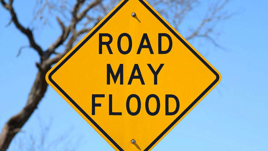
The National Weather Service has issued a Flood Watch for the entire GIANT-FM listening area until 1 a.m. CDT Tuesday.
Thunderstorms with heavy rainfall of anywhere from 2 to 3 inches will be a threat as a weather system slowly moves across the region and starts to interact with deep tropical moisture already in place over southeastern Illinois and southwestern Indiana Monday and into Tuesday, June 9th.
Excessive runoff from the anticipated rainfall could result in flooding of local and area rivers, creeks, streams and other low-lying and flood-prone locations. Those living in these areas should continue to monitor weather conditions and forecasts and be prepared to evacuate if floodwaters quickly rise.
 Blues at the Crossroads - Sold Out!
 Marshall County Commissioners face full agenda at Monday morning meeting
 Argos School Board to meet on Monday
 Gov. Braun makes health care more affordable, accessible for rural Hoosiers with $209 M in Federal Rural Health Transformation Funding
 Gov. Braun readies state for winter season
 National Bobblehead Hall of Fame unveils first Charlie Becker Bobblehead ahead of Hoosiers' matchup with USC
 Marshall County Commissioners approve Industrial Appraisal Agreement for 4 county buildings
 Plymouth Common Council unanimously approves zoning ordinance amendments on pool fences and blade signs