

There is a chance of thunderstorms late this afternoon, especially by this evening as coverage of showers and thunderstorms increases.
The National Weather Service calling for an enhanced risk of severe storms late this afternoon and tonight generally along and west of Indiana State Road 15, with a slight risk of severe storms across the remainder of the area.
Large hail to two inches in diameter, damaging wind gusts, and tornadoes are all possible. Locally heavy rainfall is also expected tonight into early Wednesday morning. Confidence in severe weather occurring across the region is medium to high, but the exact locations with the greatest threats and timing of the initial storms late this afternoon and early this evening are of medium confidence.
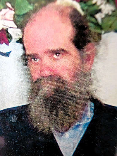
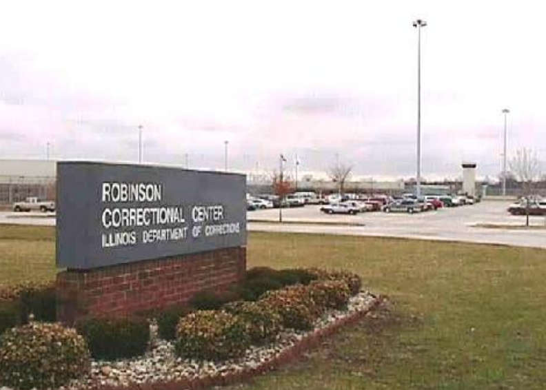 Rep. Niemerg calls for immediate your of correctional facilities following inmate death
 Three transported to hospital after semi strikes minivan at U.S. 30 and Queen Road
 County Commissioners approve new reimbursement contract for law enforcement hires
 Deadline approaching for Marshall County Owner-Occupied Home Repair Grant Applications — apply by May 15th
 Plymouth man arrested for battery and domestic battery after early morning altercation
 Plymouth man arrested after traffic stop reveals he never obtained a driver's license