

There is a chance of thunderstorms late this afternoon, especially by this evening as coverage of showers and thunderstorms increases.
The National Weather Service calling for an enhanced risk of severe storms late this afternoon and tonight generally along and west of Indiana State Road 15, with a slight risk of severe storms across the remainder of the area.
Large hail to two inches in diameter, damaging wind gusts, and tornadoes are all possible. Locally heavy rainfall is also expected tonight into early Wednesday morning. Confidence in severe weather occurring across the region is medium to high, but the exact locations with the greatest threats and timing of the initial storms late this afternoon and early this evening are of medium confidence.
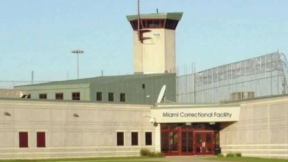 ACLU of Indiana finalizes $1.2 Million in settlements over abuse at Miami Correctional Facility
 Royal Center man charged with child molesting
 Ride the Lightning fundraiser gains three volunteers
 Hundreds of thousands of dollars in wiring recovered in Pulaski County, two detained
 Boating restriction on Lake Wawasee lifted
 ISP announces Peru Post not available for Drug TakeBack
 Fulton County Sheriff's Office K9 Rapid receives special supplies
 Indiana FSSA announces results of HCBS attendant care audits - $200 Million in improper payments