


There is a chance of thunderstorms late this afternoon, especially by this evening as coverage of showers and thunderstorms increases.
The National Weather Service calling for an enhanced risk of severe storms late this afternoon and tonight generally along and west of Indiana State Road 15, with a slight risk of severe storms across the remainder of the area.
Large hail to two inches in diameter, damaging wind gusts, and tornadoes are all possible. Locally heavy rainfall is also expected tonight into early Wednesday morning. Confidence in severe weather occurring across the region is medium to high, but the exact locations with the greatest threats and timing of the initial storms late this afternoon and early this evening are of medium confidence.
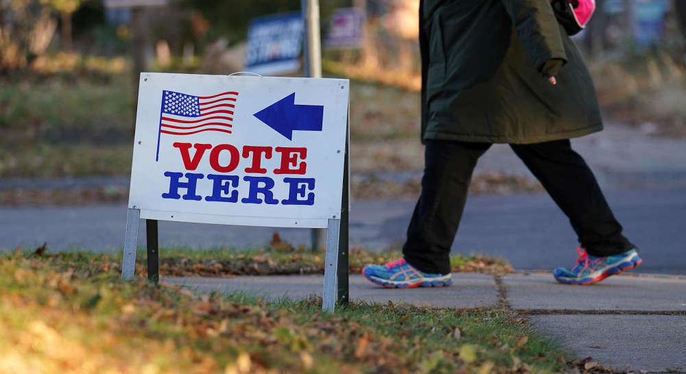 Final days of absentee voting ahead of Tuesday's primary
 Greencastle man arrested for his role in Decatur County shooting
 Shelby County Players auditioning for upcoming Agatha Christie production
 New online portal brings transparency to Indiana gas prices during declared energy emergency
 Reckless homicide charged in shooting death of Adalina Perez
 Southwestern's Newton earns IBCA scholarship
 Plan Commission approves site development plan for apartment complex
 City of Shelbyville announces month-long mental health awareness initiative