


There is a chance of thunderstorms late this afternoon, especially by this evening as coverage of showers and thunderstorms increases.
The National Weather Service calling for an enhanced risk of severe storms late this afternoon and tonight generally along and west of Indiana State Road 15, with a slight risk of severe storms across the remainder of the area.
Large hail to two inches in diameter, damaging wind gusts, and tornadoes are all possible. Locally heavy rainfall is also expected tonight into early Wednesday morning. Confidence in severe weather occurring across the region is medium to high, but the exact locations with the greatest threats and timing of the initial storms late this afternoon and early this evening are of medium confidence.
 USDA opens enrollment for Grassland Conservation Reserve Program
 Howard County farm to be featured at Indiana State Fair
 4C Health announces Rural Pre-Med Summer Internship Immersive
 Boating restrictions on Tippecanoe Lake Chain and Barbee Lake Chain lifted
 New online portal brings transparency to Indiana gas prices during declared energy emergency
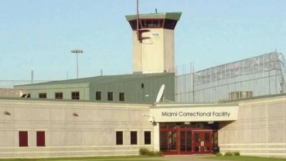 ACLU of Indiana finalizes $1.2 Million in settlements over abuse at Miami Correctional Facility
 ISP announces Peru Post not available for Drug TakeBack