

wako news
The Illinois Department of Transportation (IDOT) this week announced that it has released the new official state highway map. The map includes new features including route updates and mileages between towns and marked route junctions to assist travelers more readily as they explore the state. The map is paid for with funding from the Federal Highway Administration (FHA) and is published by IDOT every two years. Free copies are available at interstate rest stops and other IDOT facilities. They can also be requested through the website DOT.maps@illinois.gov.
 Motorcyclist injured
 Driving while suspended
 Lawrence County Board to host budget hearing
 INDOT announcing Lincoln Memorial Bridge closure
 Lawrenceville Police active over the weekend with two arrests
 Another fatal accident in Wabash County
 Lawrenceville approves water system contract changes and new ordinances
 Burn ban issued for Lawrence and Richland Counties
 IDHS warns against disaster assistance fraud
 Richland County Illinois man sentenced on federal child porn charges
 Illinois taking action to assist farmers during harvest season
 Lawrence County Veterans Assistance Commission discusses superintendent hiring
 Applications open for Indiana's Advanced Nuclear Ready Communities Program
 Knox County approves solar setback ordinance on first reading
 One killed in Wabash County pedestrian accident
 Grain marketing company completes Jasper County expansion
 Lawrence County Memorial Hospital adds new administrative position
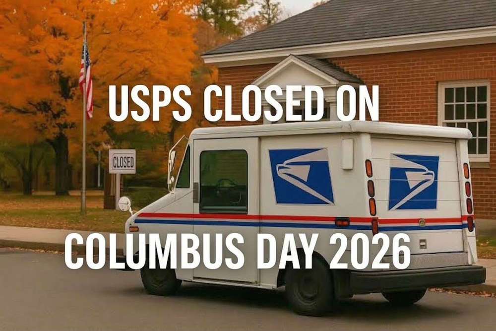 USPS schedule for weekend into Columbus Day