

The Johnson County Sheriff’s Office is creating a livestock map to protect animals / livestock in the event they escape their enclosure.
The livestock map is a completely voluntary form where you can enter your contact information and types of animals / livestock. This information is only accessible by the Johnson County Sheriff’s Office.
The Johnson County Sheriff’s Office says the livestock map is a simple way to keep your animals/livestock safe and reduce the chances of an accident occurring if they escape.
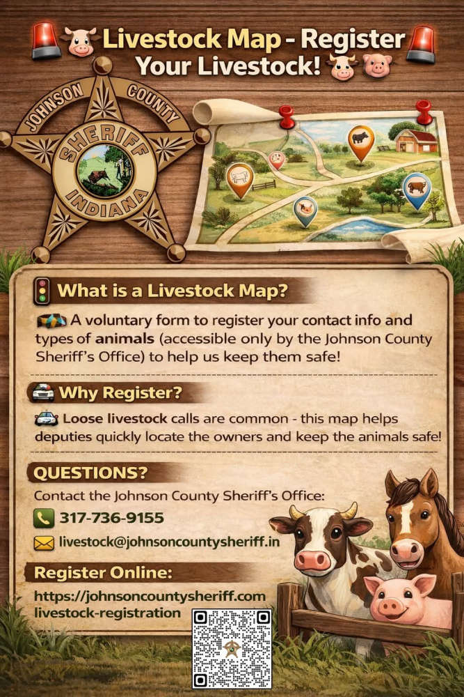
The Sheriff’s Office receives multiple calls a year regarding livestock that have gotten out on county roads. The livestock map would help our deputies locate the owners quickly and keep the animals safe.
Livestock registration link: https://johnsoncountysheriff.com/livestock-registration
You can contact the Johnson County Sheriff’s Office at 317-736-9155 or livestock@johnsoncountysheriff.in.gov
 Lawrence County man sentenced to jail
 Illinois drivers encouraged to do business online
 Meta to pay up to $419M to Indiana, implement sweeping child-safety reforms on Instagram and Facebook
 Wabash River crests at Vincennes; still under flood warning
 Two new conditions now eligible for treatment with medical cannabis
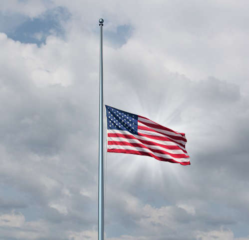 Gov. Mike Braun orders flags lowered to half-staff in honor of Dolly Parton
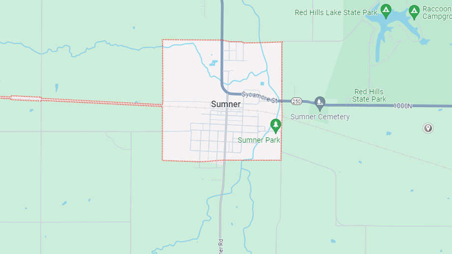 Sumner election petitions available
 New housing subdivision moving forward in Vincennes
 Parkside Elementary will open next week
 Restaurant at Red Hill State Park under new ownership
 Bridgeport Water boil order lifted
 Lawrence County Chamber recognizes Salyers; have begun executive director search
 Lawrence County Board hears about data centers and the county jail
 Parkside Elementary opening delayed again
 Knox County's Clayton Newton earns honors at the Indiana State Fair
 Indiana launches emergency program for veterans impacted by historical flooding
 Illinois State Police deploy new Bicycle Response Team