
The Johnson County Sheriff’s Office is creating a livestock map to protect animals / livestock in the event they escape their enclosure.
The livestock map is a completely voluntary form where you can enter your contact information and types of animals / livestock. This information is only accessible by the Johnson County Sheriff’s Office.
The Johnson County Sheriff’s Office says the livestock map is a simple way to keep your animals/livestock safe and reduce the chances of an accident occurring if they escape.
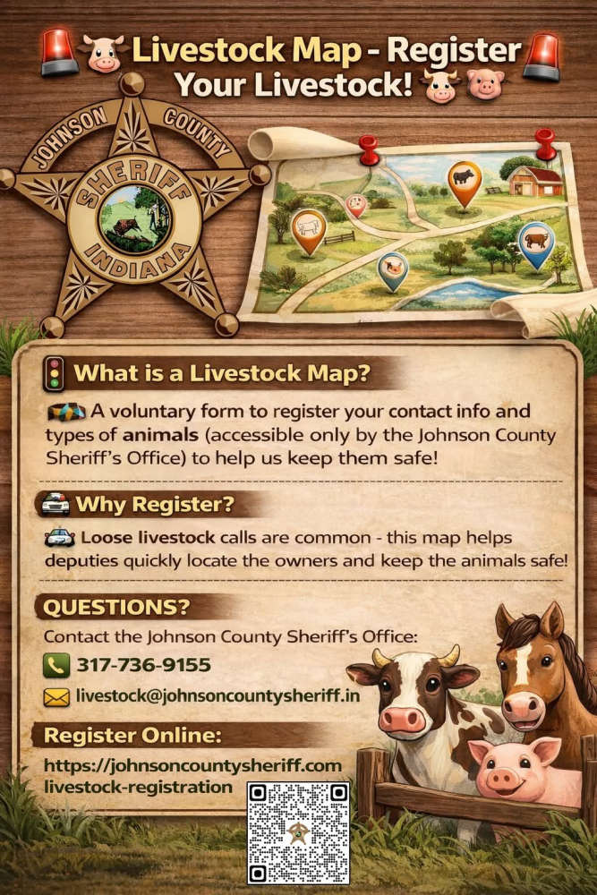
The Sheriff’s Office receives multiple calls a year regarding livestock that have gotten out on county roads. The livestock map would help our deputies locate the owners quickly and keep the animals safe.
Livestock registration link: https://johnsoncountysheriff.com/livestock-registration
You can contact the Johnson County Sheriff’s Office at 317-736-9155 or livestock@johnsoncountysheriff.in.gov
 IREAD scores increase for fifth consecutive year
 Meta to pay up to $419M to Indiana, implement sweeping child-safety reforms on Instagram and Facebook
 Tuesday HS Scoreboard: Rochester girls soccer gets scores from 4 different players in win over Wabash
 Indiana Pork and Indiana Beef donate State Fair food to support flood-ravaged communities
 Rochester man facing felony charges after allegedly beating elderly father with baseball bat
 19-year-old man facing felony charges after police chase in Miami County
 Rochester Sidewalk Cost Share Program accepting applications starting September 1