

The Johnson County Sheriff’s Office is creating a livestock map to protect animals / livestock in the event they escape their enclosure.
The livestock map is a completely voluntary form where you can enter your contact information and types of animals / livestock. This information is only accessible by the Johnson County Sheriff’s Office.
The Johnson County Sheriff’s Office says the livestock map is a simple way to keep your animals/livestock safe and reduce the chances of an accident occurring if they escape.
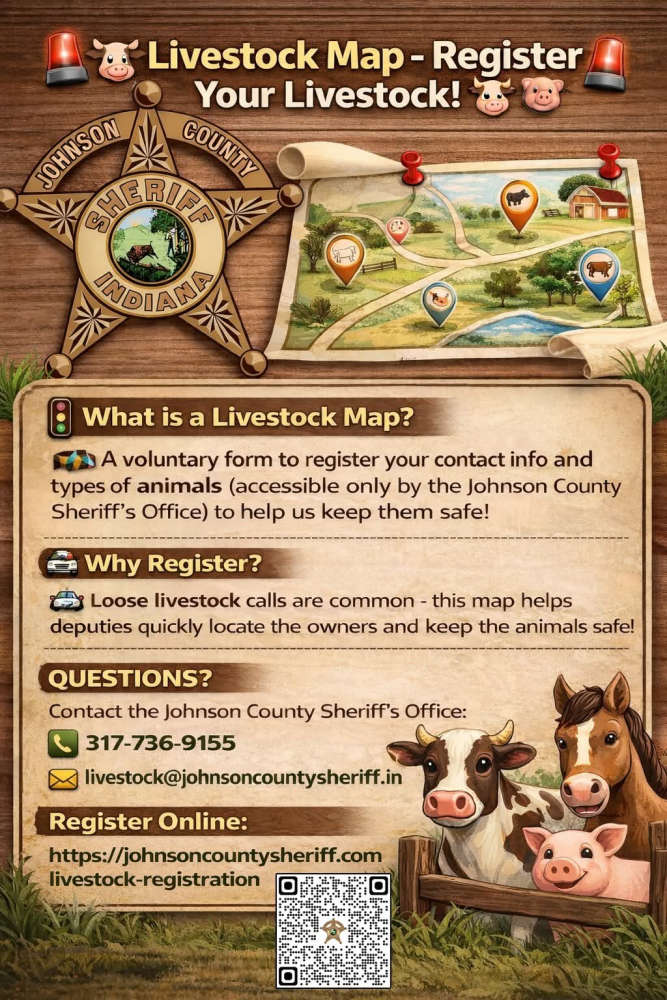
The Sheriff’s Office receives multiple calls a year regarding livestock that have gotten out on county roads. The livestock map would help our deputies locate the owners quickly and keep the animals safe.
Livestock registration link: https://johnsoncountysheriff.com/livestock-registration
You can contact the Johnson County Sheriff’s Office at 317-736-9155 or livestock@johnsoncountysheriff.in.gov
 Meta to pay up to $419M to Indiana, implement sweeping child-safety reforms on Instagram and Facebook
 New storm recovery texting service to connect impacted Hoosiers with disaster resources
 Indiana Pork and Indiana Beef donate State Fair food to support flood-ravaged communities
 IDEM reminds residents to sort and safely dispose of flood debris
 Gov. Mike Braun orders flags lowered to half-staff in honor of Dolly Parton
 Indiana law enforcement to increase impaired driving enforcement ahead of Labor Day
 The Elwood officially opens in Kokomo as Goodin Development receives Certificate of Occupancy

