The Johnson County Sheriff’s Office is creating a livestock map to protect animals / livestock in the event they escape their enclosure.
The livestock map is a completely voluntary form where you can enter your contact information and types of animals / livestock. This information is only accessible by the Johnson County Sheriff’s Office.
The Johnson County Sheriff’s Office says the livestock map is a simple way to keep your animals/livestock safe and reduce the chances of an accident occurring if they escape.
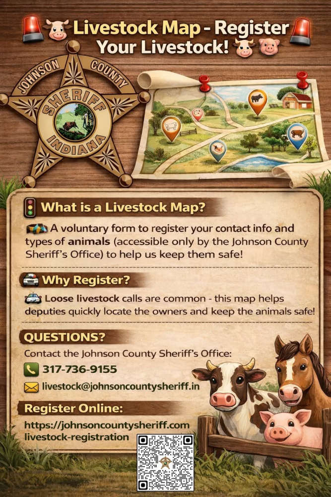
The Sheriff’s Office receives multiple calls a year regarding livestock that have gotten out on county roads. The livestock map would help our deputies locate the owners quickly and keep the animals safe.
Livestock registration link: https://johnsoncountysheriff.com/livestock-registration
You can contact the Johnson County Sheriff’s Office at 317-736-9155 or livestock@johnsoncountysheriff.in.gov
 $15 increase for Rockville sanitary sewer / wastewater usage fee
 Duke Energy reminds residents to call 811 before beginning spring digging projects
 Parke County tornado confirmed
 Pair of suspects arrested after drugs found inside their bodies
 Parents offering new alternative for Montezuma Elementary families
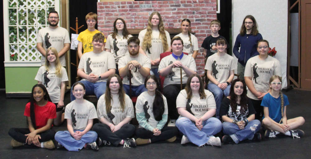 Sherlock Holmes to the stage at Parke Heritage this weekend
 Indiana AG warns of human trafficking during Final Four
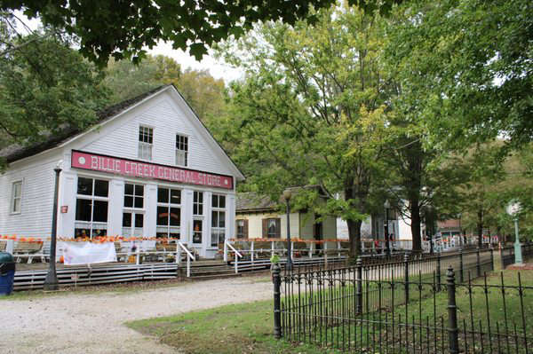 Billie Creek Village ready for another season
 Voter registration deadline April 6
 Flags ordered to half-staff for Captain Seth Koval
 Conrady seeks Rockville Town Board seat
 Peebles looks to keep Vermillion County Commissioner seat
 Indiana launches enforcement campaign to target distracted driving and speeding
 Indianapolis Indians named title partner of the 2026 Indiana State Fair
 Carlisle man leads Parke County officers, others on chase
 Game audio: 2A State Championship, Parke Heritage 57, Westview 56 (Air date March 28, 2026)