
News
The National Weather Service has issued a STRONG THUNDERSTORM WILL IMPACT MARSHALL COUNTY
at about 5:15 PM.
At 427 PM EDT/327 PM CDT/, Doppler radar was tracking a strong
thunderstorm near Ora, or 9 miles northeast of Winamac, moving
northeast at 30 mph.
HAZARD...Wind gusts up to 50 mph and half inch hail.
SOURCE...Radar indicated.
IMPACT...Gusty winds could knock down tree limbs and blow around
unsecured objects. Minor hail damage to vegetation is
possible.
Locations impacted include...
Plymouth, Bremen, Knox, Bourbon, Argos, Culver, Walnut, Tippecanoe,
Oak Grove, Monterey, Leiters Ford, Ober, Twin Lakes, Inwood, Rutland,
Burr Oak, Maxinkuckee, Hibbard, Winona, and Delong.
PRECAUTIONARY/PREPAREDNESS ACTIONS...
If outdoors, consider seeking shelter inside a building.
 Edward Charles Ballinger, 65, Vincennes
 Rose named to Illinois Senate leadership team
 Embarrass River Flood Warning issued
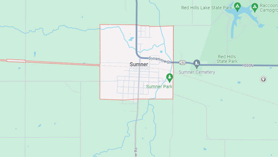 Lisa's Little Free Library open in Sumner
 Indiana earns top credit rating from major agency
 LCMH to host Girls Night Out
 Knox County extends road weight limits
 BFPD announces officer promotions
 Red Cross seeks donations to curb severe blood shortage
 IDPH releases carbon monoxide surveillance report, urges CO detector use
 Knox County Solid Waste looking for new Executive Director
 Lawrence County authorities make three weekend arrests
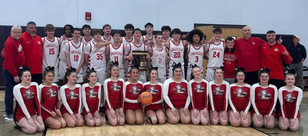 Indians capture regional title
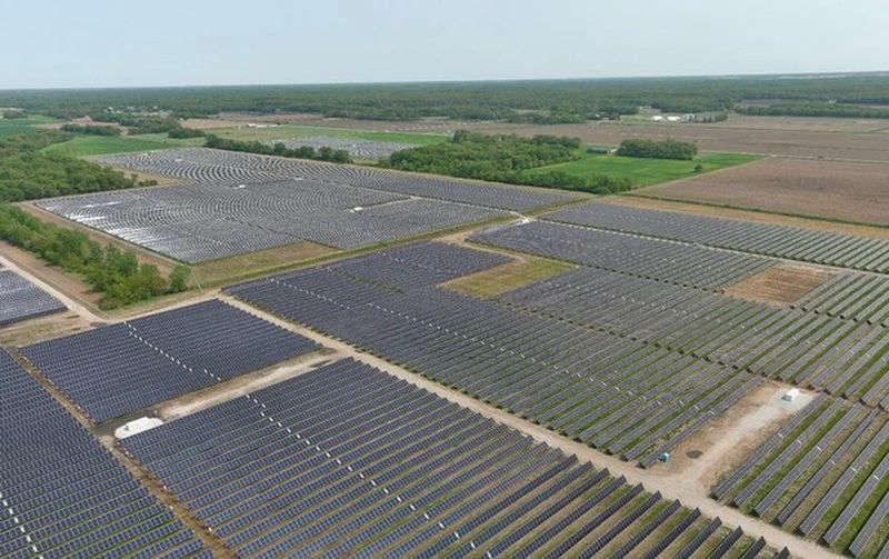 Knox County Commissioners host public meeting on solar ordinance Sunday
 IECC to hold SPIN nights
 INDOT Knox County bridge replacement project