


The National Weather Service has issued a STRONG THUNDERSTORM WILL IMPACT MARSHALL COUNTY at about 5:15 PM.
At 427 PM EDT/327 PM CDT/, Doppler radar was tracking a strong
thunderstorm near Ora, or 9 miles northeast of Winamac, moving
northeast at 30 mph.
HAZARD...Wind gusts up to 50 mph and half inch hail.
SOURCE...Radar indicated.
IMPACT...Gusty winds could knock down tree limbs and blow around unsecured objects. Minor hail damage to vegetation is possible.
Locations impacted include...
Plymouth, Bremen, Knox, Bourbon, Argos, Culver, Walnut, Tippecanoe,
Oak Grove, Monterey, Leiters Ford, Ober, Twin Lakes, Inwood, Rutland,
Burr Oak, Maxinkuckee, Hibbard, Winona, and Delong.
PRECAUTIONARY/PREPAREDNESS ACTIONS...
If outdoors, consider seeking shelter inside a building.
 Debate over Rockville utility billing continues
 Rockville Town Board shuffles up leadership positions
 Political candidates can begin filing this week
 Historic sites bill passes out of committee
 More than one-third of Christmas tree home fires occur in January
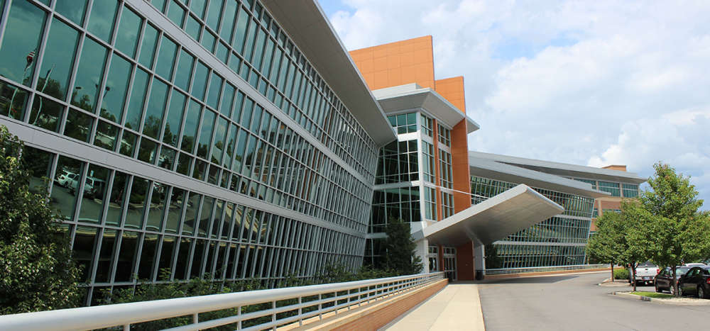 Temporary visitation restrictions enacted by Union Health due to uptick in respiratory virus cases
 Reps. Heaton, Yocum: Indiana House accepting student applicants for 2026 page program
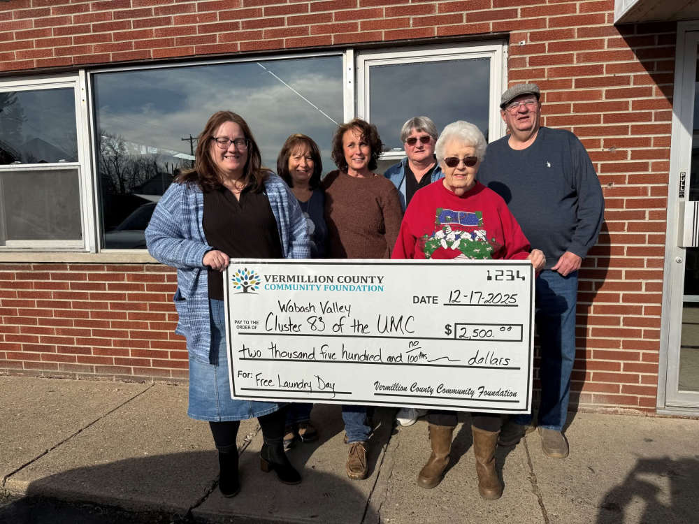 VCCF awards $2,500 grant to support Free Laundry Day Program
 Thrive West Central announces new housing project
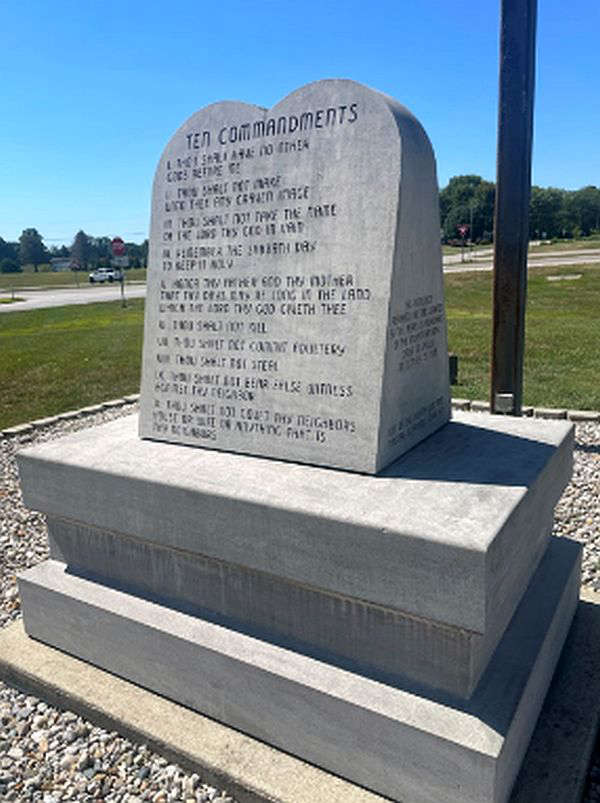 Gov. Braun, AG Rokita ask Federal Court to lift 20-year ban on Historical Monument at Indiana Statehouse
 Emily Adams named 2026 Lilly Endowment Scholar
 Ray Allison named next executive director of the Indiana State Fair Commission
 INvestABLE Indiana announces expanded eligibility criteria beginning January 1