


The Illinois State Water Survey is partnering with the Federal Emergency Management Agency (FEMA) to examine the flood risk along five creeks in Lawrence County.
They are Brushy Creek, Muddy Creek, Shirley Creek, Indian Creek and the Indian Creek tributary.
Survey crews will be operating along those creeks beginning this month of May and continuing throughout the summer. The surveyors will be getting channel and bridge measurements along with topographic elevations and photographs within and around the creek banks to be used in computer models estimating the potential flooding threat.
The study will also be used to improve and update the Flood Insurance Rate Maps (FIRM) for Lawrence County. No property disruptions are anticipated.
 Zumwalt looks to carry Republican nod for Vermillion County Commissioner District 2
 Indiana Department of Veterans Affairs, American Legion Department of Indiana sign landmark agreement
 Brazil man arrested on rape, other charges
 Getting to know the Centerville Bulldogs
 GE Aerospace to make millions of dollars of investment in Terre Haute, Lafayette
 Phelps looks to claim Vermillion County Commissioner District 2 seat
 Rodney Atkins to perform at Putnam County Fairgrounds
 Smith looks to punch ticket to Rockville Town Board seat
 Safe Zones enforcement to resume on I-70 in Hancock Co., begin on I-65 in Jasper Co.
 IDHS focuses on raising awareness during Severe Weather Preparedness Week, March 8-14
 Parke Heritage to Martinsville, North Vermillion headed to Frankfort for boys regionals
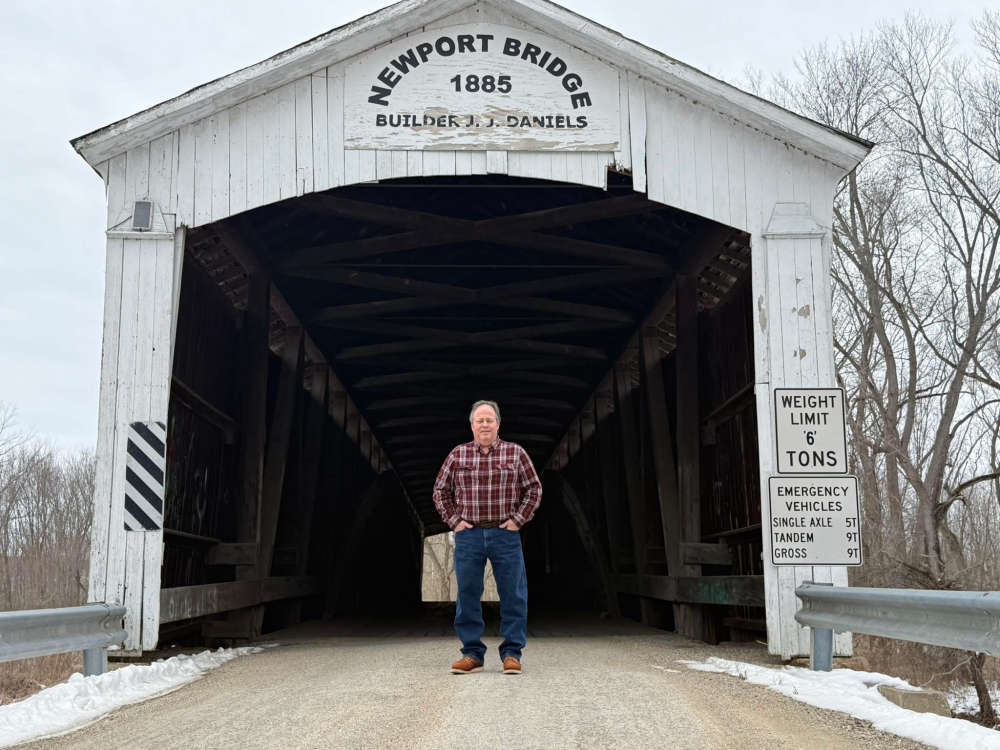
 Martin looks to bring experience to Parke County Commissioner District 2 Seat
 Penny-rounding for retailers
 No intentional wrongdoing alleged in crash blamed for death of US Rep. Baird’s wife
 Hoover looks to turn Parke County Commissioner District 2 seat Blue
 Fairview Park receives OCRA grant to rehab water system
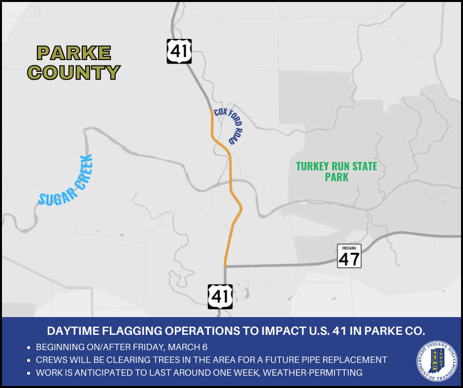 Daytime flagging operations to impact U.S. 41 for tree clearing for a future project
 Rosedale man charged with child molesting, soliciting