
The Johnson County Sheriff’s Office is creating a livestock map to protect animals / livestock in the event they escape their enclosure.
The livestock map is a completely voluntary form where you can enter your contact information and types of animals / livestock. This information is only accessible by the Johnson County Sheriff’s Office.
The Johnson County Sheriff’s Office says the livestock map is a simple way to keep your animals/livestock safe and reduce the chances of an accident occurring if they escape.

The Sheriff’s Office receives multiple calls a year regarding livestock that have gotten out on county roads. The livestock map would help our deputies locate the owners quickly and keep the animals safe.
Livestock registration link: https://johnsoncountysheriff.com/livestock-registration
You can contact the Johnson County Sheriff’s Office at 317-736-9155 or livestock@johnsoncountysheriff.in.gov
 Plymouth School Board addresses Superintendent Search, urges community to take survey
 Plymouth Park Board approves annual agreement for downtown Farmers Market
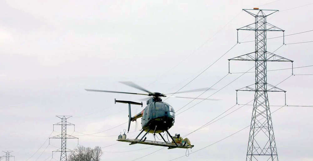 M.C. Highway Superintendent pushes for stricter road protections ahead of NIPSCO Power Line Project
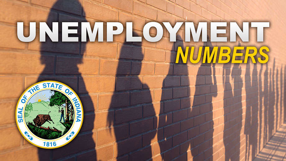 Indiana January 2026 Employment Repo
 Plymouth Elks Lodge to host 2nd Annual Big Cup Golf Tournament
 Plymouth Robotics to host Community Night Fundraiser ahead of World Championship
 Indiana State Comptroller and Treasurer launch State Financial Fireside Chat Series
 Gov. Braun spotlights Indiana as National Defense Innovation Hub, driving high-wage jobs and economic growth