
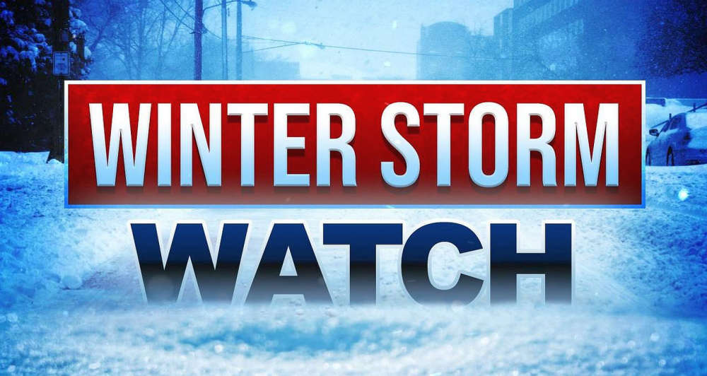
Marshall County will be under a Winter Storm Watch beginning this afternoon at 4:30 and continuing through Thursday at 1 p.m.
Heavy lake effect snow is possible with total snow accumulations estimated to be between 4 and 9 inches. Northwest Winds could gust between 35 and 40 mph at times. Once the snow accumulates, blowing and drifting snow could be problematic for east-west roads.
Travel could be very difficult with hazardous conditions on Wednesday morning and evening commutes, and the Thursday morning commute.
Residents are encouraged to monitor the latest forecasts for updates on this situation and consider delaying all travel. If travel is necessary, drive with extreme caution and consider taking a winter storm kit with you. The kit should include tire chains, booster cables, a flashlight, a shovel, blankets, and extra clothing. Also take water, a first aid kit, and food in case you become stranded.
During lake effect snow, the weather can vary from bands of locally heavy snow to dry weather just a few miles away. Visibility can also vary greatly, so be prepared for rapid changes in weather, visibility, and road conditions.
 Lawrence County authorities make three weekend arrests
 Embarras River Flood Warning extended
 IDHS focuses on raising awareness during Severe Weather Preparedness Week, March 8-14
 Edward Charles Ballinger, 65, Vincennes
 Rose named to Illinois Senate leadership team
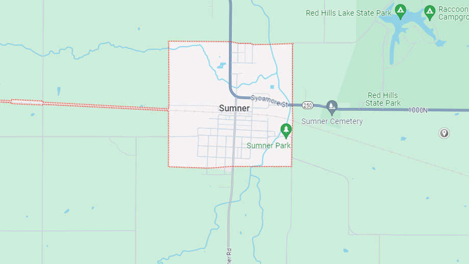 Lisa's Little Free Library open in Sumner
 Indiana earns top credit rating from major agency
 LCMH to host Girls Night Out
 Knox County extends road weight limits
 BFPD announces officer promotions
 Red Cross seeks donations to curb severe blood shortage
 IDPH releases carbon monoxide surveillance report, urges CO detector use
 Knox County Solid Waste looking for new Executive Director
 Lawrence County authorities make three weekend arrests
 Indians capture regional title
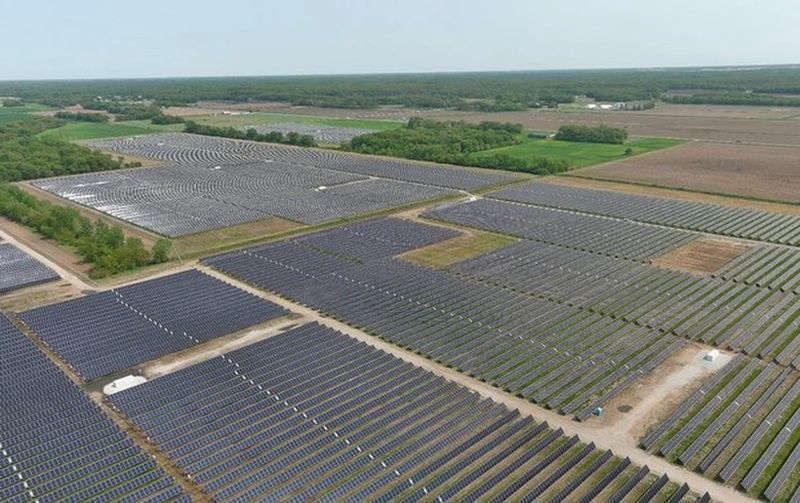 Knox County Commissioners host public meeting on solar ordinance Sunday