

The National Weather Service has issued a STRONG THUNDERSTORM WILL IMPACT MARSHALL COUNTY at about 5:15 PM.
At 427 PM EDT/327 PM CDT/, Doppler radar was tracking a strong
thunderstorm near Ora, or 9 miles northeast of Winamac, moving
northeast at 30 mph.
HAZARD...Wind gusts up to 50 mph and half inch hail.
SOURCE...Radar indicated.
IMPACT...Gusty winds could knock down tree limbs and blow around unsecured objects. Minor hail damage to vegetation is possible.
Locations impacted include...
Plymouth, Bremen, Knox, Bourbon, Argos, Culver, Walnut, Tippecanoe,
Oak Grove, Monterey, Leiters Ford, Ober, Twin Lakes, Inwood, Rutland,
Burr Oak, Maxinkuckee, Hibbard, Winona, and Delong.
PRECAUTIONARY/PREPAREDNESS ACTIONS...
If outdoors, consider seeking shelter inside a building.
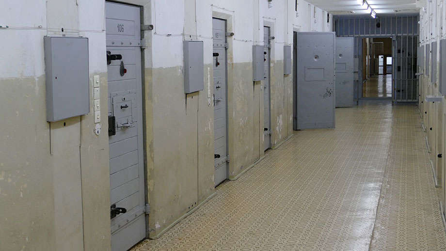
 Six sentenced in sweeping multi‑million‑dollar cargo heist
 State committee approves IDOC mail rule
 Information sought in Lawrence County man's death
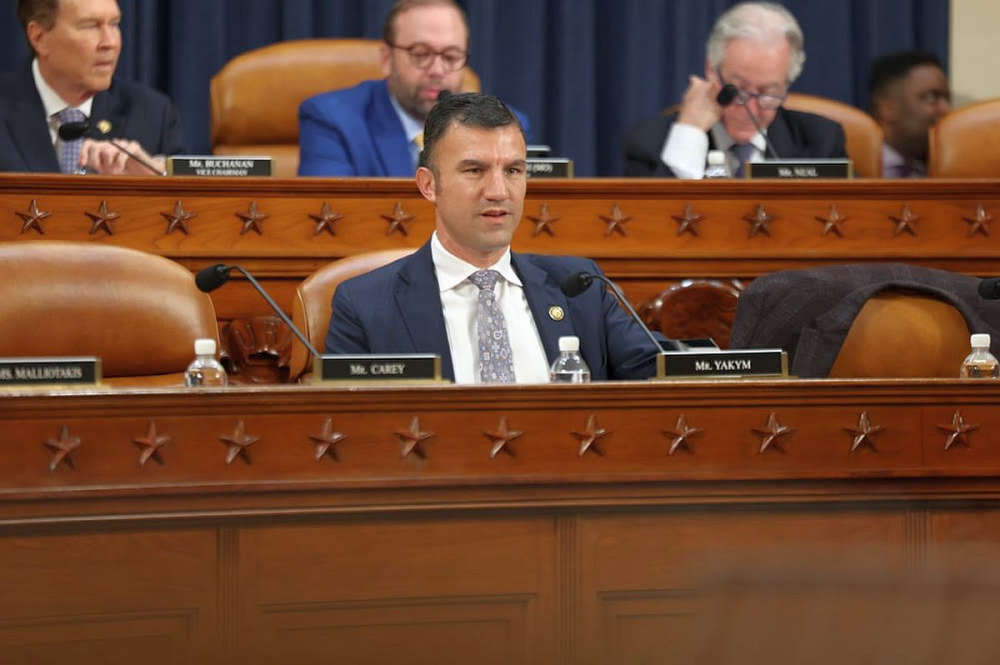 U.S. Rep. Yakym’s bipartisan BARCODE Efficiency Act Advances
 Thacker joins IHA Board of Directors
 St Francisville City Council moves on water tower project
 Miss Lawrence County heads to Springfield
 New hanger planned at Mid-American Air Center
 Two agreements approved by Vincennes Board of Works and Safety
 Two arrests made by Lawrence County authorities
 Deadline approaching for blind, disabled Hoosiers and seniors to receive property tax credits
 Bridgeport Senior Center to close this week
 Two Bridgeport residents in custody
 One Night, One Cause: Indiana FFA needs your support for their ‘Blue and Gold Gala’
 Gov. Braun secures National Drone Test Site Designation for Indiana
 ISP with Human Trafficking Awareness Initiative this week
 GSH implements masking restriction
 Lawrenceville spends money on water well field
 Neal stepping down as KC Chamber president