

wako news
The Illinois Department of Transportation (IDOT) this week announced that it has released the new official state highway map. The map includes new features including route updates and mileages between towns and marked route junctions to assist travelers more readily as they explore the state. The map is paid for with funding from the Federal Highway Administration (FHA) and is published by IDOT every two years. Free copies are available at interstate rest stops and other IDOT facilities. They can also be requested through the website DOT.maps@illinois.gov.
 BMV warns of scam, more deceptive messages
 Sunshine House to open shelter Monday as temps fall below freezing
 Triton Central secures first regional championship since 1989
 Infrastructure projects impacting some Shelbyville streets this week
 Koch named new Shelbyville Police Chief
 Column: Kiss Me, I’m Irish
 FAFSA filing events in Shelbyville, Columbus and Franklin
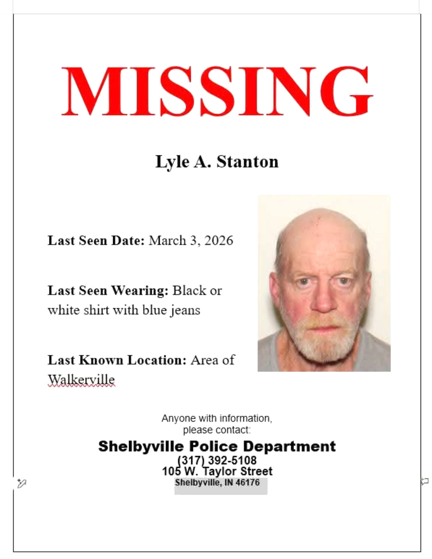 Shelbyville police asking for assistance to find Lyle Stanton