The Johnson County Sheriff’s Office is creating a livestock map to protect animals / livestock in the event they escape their enclosure.
The livestock map is a completely voluntary form where you can enter your contact information and types of animals / livestock. This information is only accessible by the Johnson County Sheriff’s Office.
The Johnson County Sheriff’s Office says the livestock map is a simple way to keep your animals/livestock safe and reduce the chances of an accident occurring if they escape.
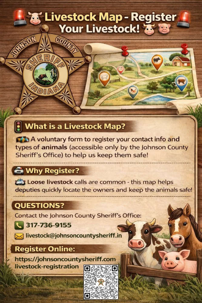
The Sheriff’s Office receives multiple calls a year regarding livestock that have gotten out on county roads. The livestock map would help our deputies locate the owners quickly and keep the animals safe.
Livestock registration link: https://johnsoncountysheriff.com/livestock-registration
You can contact the Johnson County Sheriff’s Office at 317-736-9155 or livestock@johnsoncountysheriff.in.gov
 Audio: Shelbyville Common Council meeting (originally aired April 6, 2026)
 Drivers flown for medical treatment from Decatur County crash
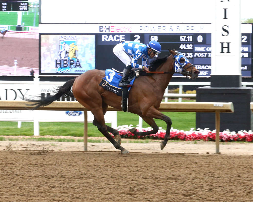 Nine races featured on season opener at Horseshoe Indianapolis
 Indiana AG warns of human trafficking during Final Four
 Shelby County Traffic Safety Partnership to increase patrols to target distracted driving and speeding
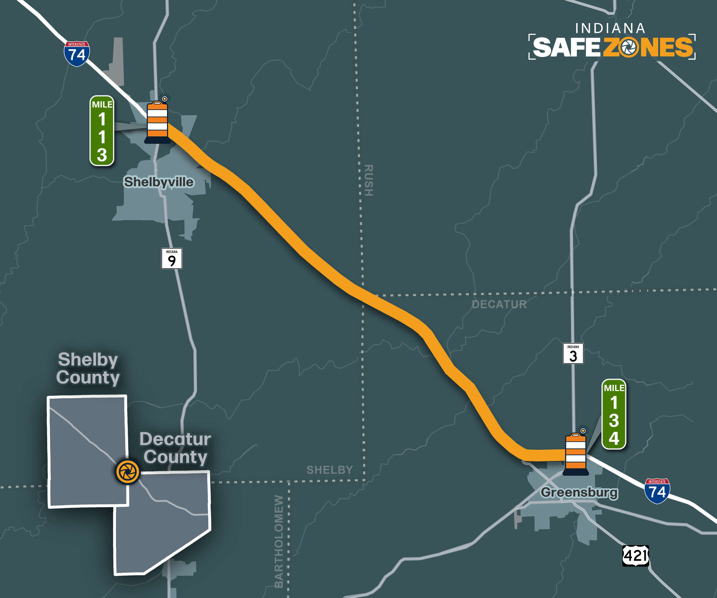 Safe Zones active on I-74