


A strong and severe storm system rolled through Lawrence, Knox and other surrounding counties Wednesday evening and night.
It spawned numerous tornado and thunderstorm watches and warnings and downed trees and power lines with other widespread damage.
There were no initial reports of serious injuries.
Damage assessments are currently underway.
The National Weather Service (NWS) is continuing the Flood Watch for the region through Sunday, April 6th.
Additional rainfall in excess of 4 inches is likely through the period for multiple rounds of showers and thunderstorms.
Excessive runoff could result in the flooding of local and area rivers, creeks and streams.
Those residing in areas prone to flooding should monitor the latest weather conditions and be prepared to take action should flooding occur.
 Identity released in fatal U.S. 36 crash
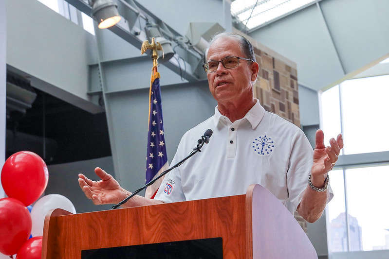
 Indiana Gov. Braun declares state of disaster emergency for 63 Indiana counties
 Longtime educator tabbed to lead new Montezuma Elementary
 Gov. Braun unveils Indiana’s exhibit for the National Mall during The Great American State Fair
 Indiana State Fair announces final wave of Hoosier Lottery Free Stage concerts for 2026
 Nominations now open for farmers and ranchers to serve on USDA Farm Service Agency county committees
 CBP officers in Indianapolis seize counterfeit FIFA World Cup 2026 merchandise
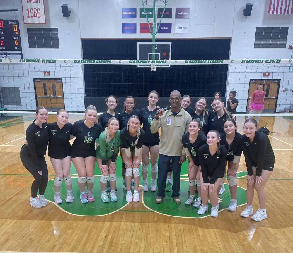 Former Cloverdale coach lands back in coaching
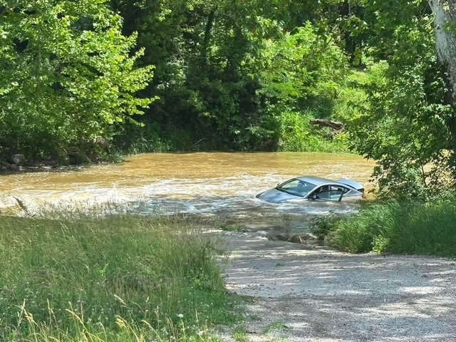 Three pulled safely from submerged car
 U.S. Postal Service will be closed in observance of Juneteenth, June 19
 Third Annual Riding with an Angel Ride remembers daughter's legacy
 FSSA To survey SNAP recipients about Smart SNAP
 Area Indiana State parks install new playgrounds
 Riverton Parke looks to bring regional baseball crown home
 IDEM forecasts statewide Air Quality Action Day for Thursday