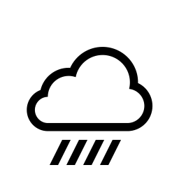


The National Weather Service In Northern Indiana is advising of the risk for strong to severe thunderstorms mainly late this morning into the afternoon hours for locations along and south of US-30. The main concern will be damaging winds along with locally heavy rain (isolated tornado?). Wind gusts of 35 to 40 mph will be common outside any thunderstorms through this evening. Heavy rain will continue to fall.
Confidence in an isolated tornado threat remains low but there is still a possibility.
THREAT: Embedded thunderstorms with strong gusty winds of 35-40 mph. Localized flooding may occur in low-lying areas and areas susceptible to flooding during heavy rains. Ponding on road surfaces. An isolated tornado threat is possible.
IMPACT: Strong winds may cause damage to trees and could result in damage to power lines leading to power outages. Ponding on road surfaces may make driving hazardous.
PREPAREDNESS ACTIONS: Remain weather aware today and be ready to take action should severe weather threaten. If you live in an area that is prone to flooding, monitor conditions and be prepared to move to a safer location if necessary. Never drive through high water on a road.
Remember: Tornadoes can occur at any time of the year.
 IDPH releases carbon monoxide surveillance report, urges CO detector use
 Knox County Solid Waste looking for new Executive Director
 Lawrence County authorities make three weekend arrests
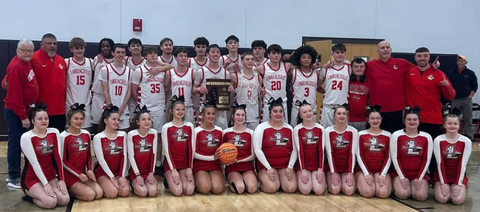 Indians capture regional title
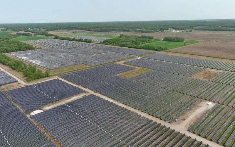 Knox County Commissioners host public meeting on solar ordinance Sunday
 NWS warns of elevated fire risk
 Vincennes among ten Indiana Communities to launch Creative Convergence projects
 IECC to hold SPIN nights
 INDOT Knox County bridge replacement project
 Southwestern Indiana situation ends without incident
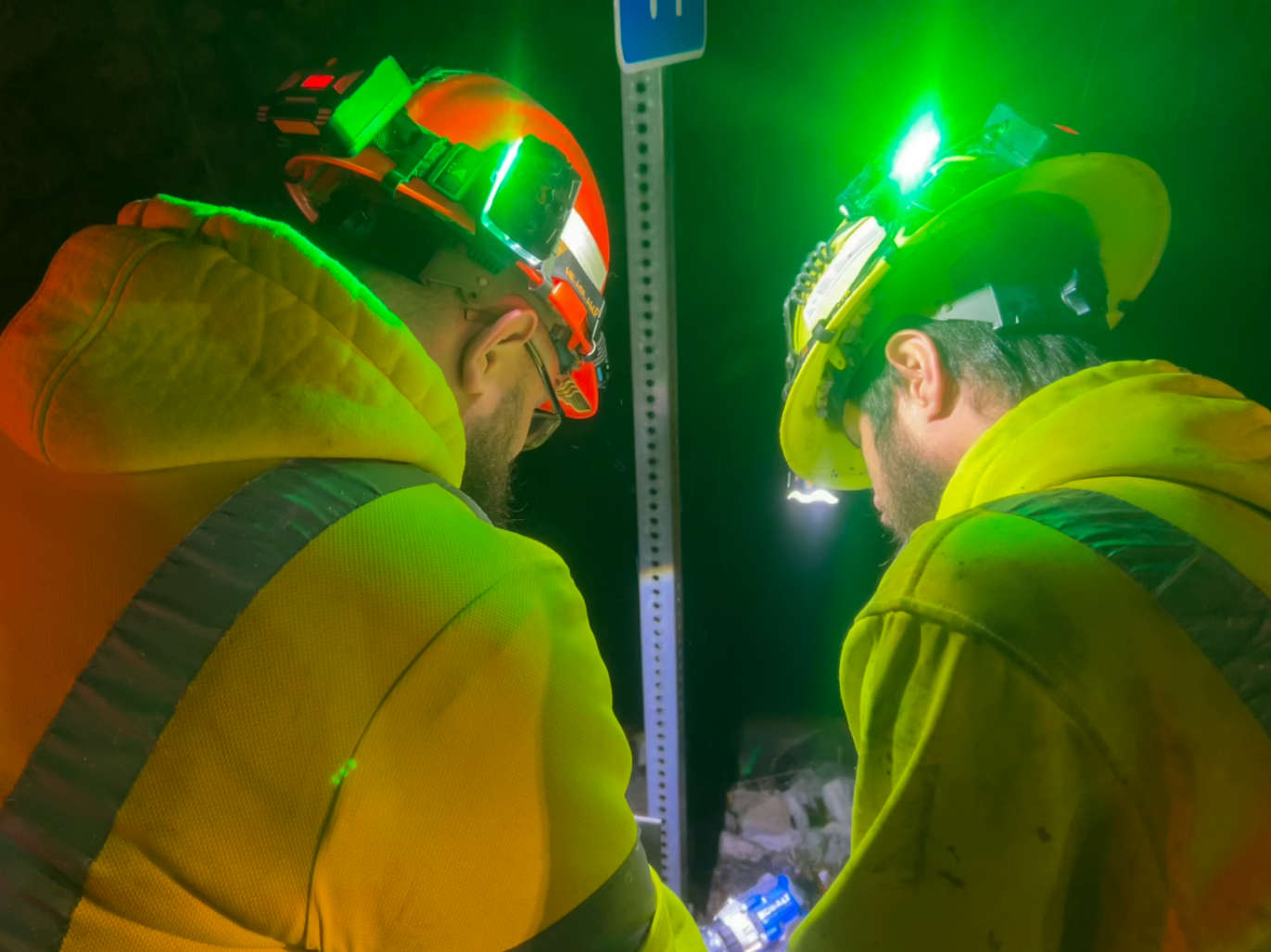 INDOT implements new roadway worker safety initiative: Project Greenlight
 Metz receives ISBE Excel Award
 Good Samaritan Hospital to host annual Wellness Fairs
 Knox County Clerk Shelton files for Indiana Secretary of State race
 Red Hill Unit #10 moves forward with building work
 Illinois State Police announce NITE patrols in southeastern Illinois
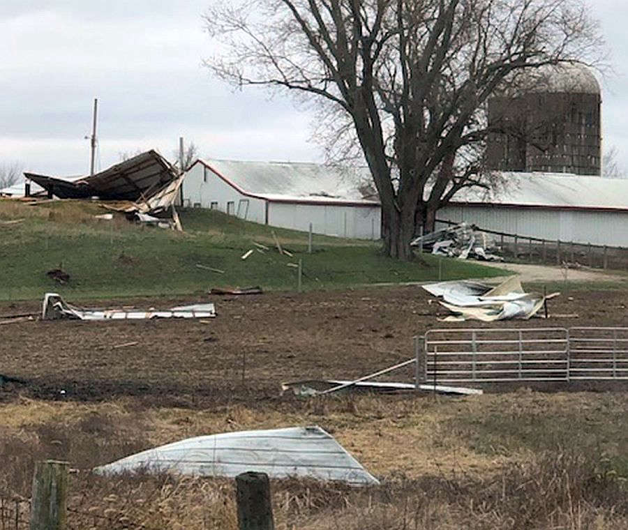 Tornado strikes Crawford County with extensive damages
 Unit #20 moves forward with improvement project