

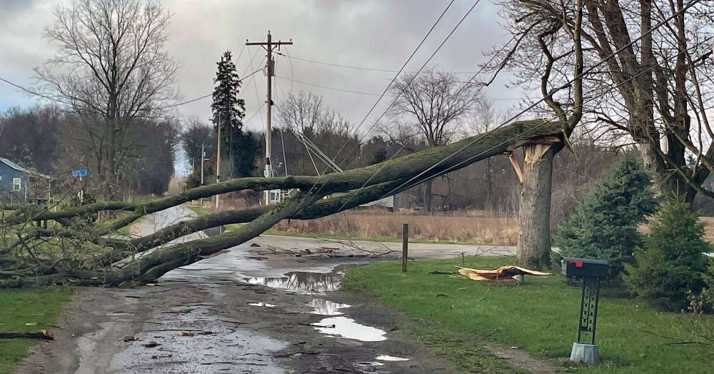
The National Weather Service (NWS) has announced confirmation of two EF-1 tornadoes in southeastern Illinois Wednesday evening.
Storm survey teams report that the first touched down at approximately 6:10 p.m. CT southeast of Altamont.
It produced peak winds of 105 mph and traveled about 3 miles with a width of 125 yards and damaged a residential roof and some trees.
The second occurred south of Montrose around 6:25 p.m. CT.
It packed peak winds estimated at 125 mph and traveled about 4 miles and was about 100 yards wide.
The twister traveled northeast and damaged some farm outbuildings and power poles before lifting near the Jasper County line.
There were no serious injuries reported.
The NWS says assessment teams are continuing to work to confirm any other tornado touchdowns in the region.
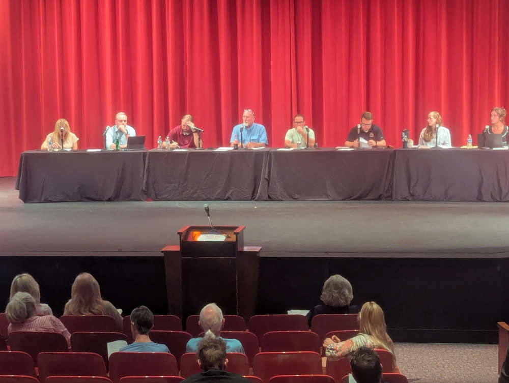 Shelby County Plan Commission moves up August meeting on data center ordinance with moratorium deadline approaching
 $50,000 winning Powerball ticket sold in Greenfield
 Countrymark fueling stations hosting Fueling Freedom on Friday
 Arrive AI successful initial deployment at Hancock Health
 DJM Investments nearing groundbreaking for new apartment complex in Shelbyville
 May unemployment rate in state still below national average
 Shelby County Plan Commission to consider data center ordinance at Tuesday meeting
 SCS updates student handbooks with new cell phone and smartwatch policy