

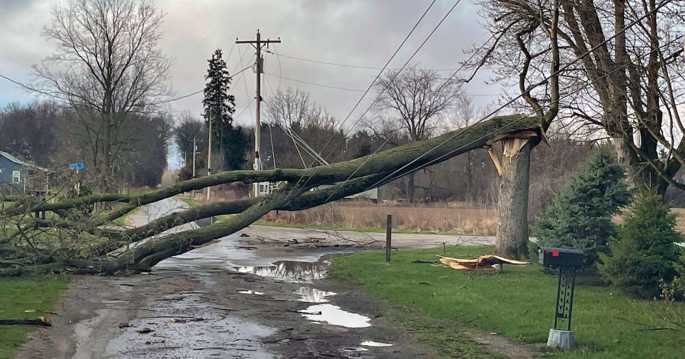
The National Weather Service (NWS) has announced confirmation of two EF-1 tornadoes in southeastern Illinois Wednesday evening.
Storm survey teams report that the first touched down at approximately 6:10 p.m. CT southeast of Altamont.
It produced peak winds of 105 mph and traveled about 3 miles with a width of 125 yards and damaged a residential roof and some trees.
The second occurred south of Montrose around 6:25 p.m. CT.
It packed peak winds estimated at 125 mph and traveled about 4 miles and was about 100 yards wide.
The twister traveled northeast and damaged some farm outbuildings and power poles before lifting near the Jasper County line.
There were no serious injuries reported.
The NWS says assessment teams are continuing to work to confirm any other tornado touchdowns in the region.
 Alliance Bank in Francesville recognized in Forbes list
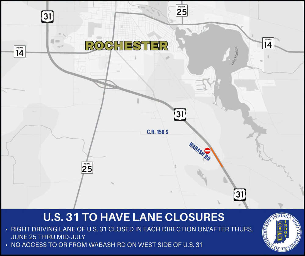 U.S. 31 road project scheduled to begin Thursday
 Fulton County unemployment matches Indiana's but well below the national rate
 Countrymark fueling stations hosting Fueling Freedom on Friday
 Step right up! Big Top Circus presented by Bee Window returns to the Indiana State Fair
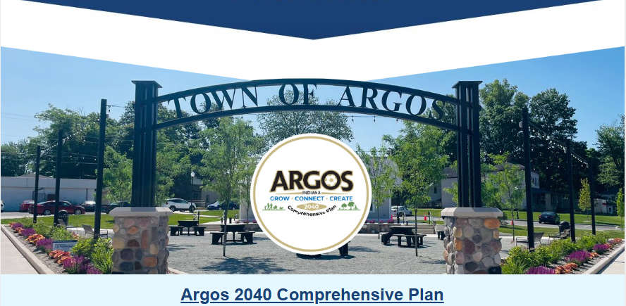 Town of Argos releases 2040 Comprehensive Plan draft; public comment period open until July 7
 NASCAR Star Ryan Newman headlines action-packed night at Plymouth Motor Speedway this Saturday
 May unemployment rate in state still below national average