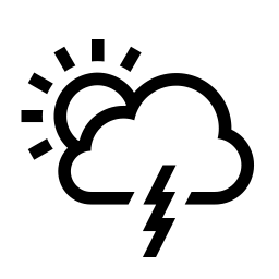


A strong and severe storm system rolled through Lawrence, Knox and other surrounding counties Wednesday evening and night.
It spawned numerous tornado and thunderstorm watches and warnings and downed trees and power lines with other widespread damage.
There were no initial reports of serious injuries.
Damage assessments are currently underway.
The National Weather Service (NWS) is continuing the Flood Watch for the region through Sunday, April 6th.
Additional rainfall in excess of 4 inches is likely through the period for multiple rounds of showers and thunderstorms.
Excessive runoff could result in the flooding of local and area rivers, creeks and streams.
Those residing in areas prone to flooding should monitor the latest weather conditions and be prepared to take action should flooding occur.
 Workforce Pell in Indiana, unlocking federal financial aid for short‑term, in-demand job training, partner with Ivy Tech, VU
 Wabash General Hospital recognized among hospitals patients would highly recommend
 IDOT warns of pavement failures during hot weather
 Lawrence County Veterans Commission formation moves forward
 Lawrence County Jail temporarily closed
 Valentine trial motion hearing held
 $22 million Fourth of July water roller coaster coming to Holiday World & Splashin’ Safari
 ISDA Launches IMAGE Cost-Share Program for southwest Indiana producers
 July 4th: Red Cross offers safety tips for a harmless holiday
 Governor Braun highlights America 250 Celebrations, encourages communities to participate with sSpecial grant program
 Know your fireworks laws, safety this holiday season
 LCMH receives recognition from American Heart Association program
 New dean announced at Vincennes University
 NWS issues weather upgrade
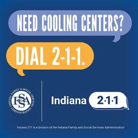 Indiana 211 has information on community cooling centers
 Indiana Gov. Braun directs state to reimburse local governments for gas tax holiday revenue
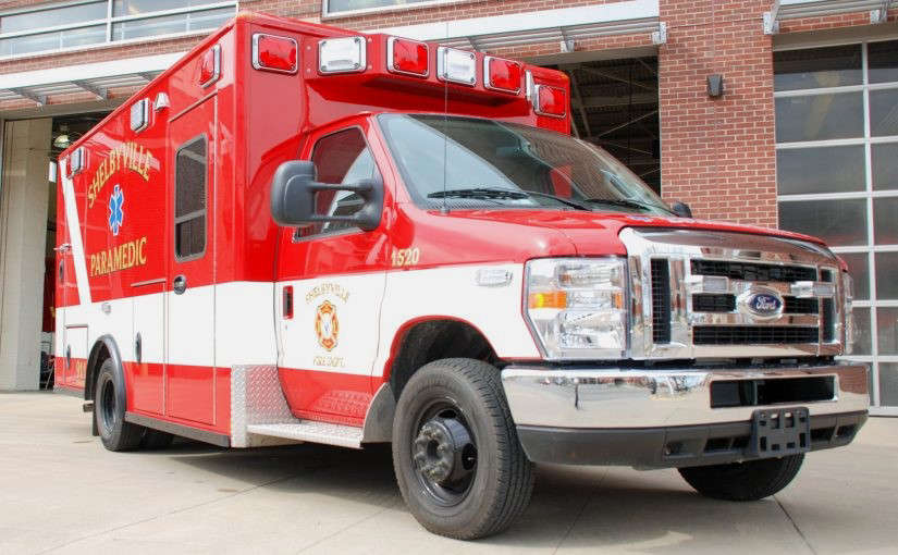 Ambulance service legislation headed to governor
 Three arrested in Lawrence County