
"
...WINTER WEATHER ADVISORY REMAINS IN EFFECT FROM 4 PM THIS_x000D_ AFTERNOON TO 10 AM EST TUESDAY..._x000D_ _x000D_ * WHAT...Freezing rain expected. Total ice accumulations of around_x000D_ one tenth of an inch with isolated spots up to two tenths._x000D_ _x000D_ * WHERE...Portions of central, north central, southwest and west_x000D_ central Indiana._x000D_ _x000D_ * WHEN...From 4 PM this afternoon to 10 AM EST Tuesday._x000D_ _x000D_ * IMPACTS...Difficult travel conditions are possible. The_x000D_ hazardous conditions could impact the morning commute._x000D_ _x000D_ * ADDITIONAL DETAILS...Freezing rain overspreads the region from_x000D_ west to east Monday evening. Heaviest freezing rain rates_x000D_ expecting during the overnight hours. Lower confidence exists_x000D_ in the transition time from freezing rain to rain as warmer_x000D_ air surges north Tuesday morning._x000D_ _x000D_ PRECAUTIONARY/PREPAREDNESS ACTIONS..._x000D_ _x000D_ Slow down and use caution while traveling. Prepare for possible_x000D_ power outages.
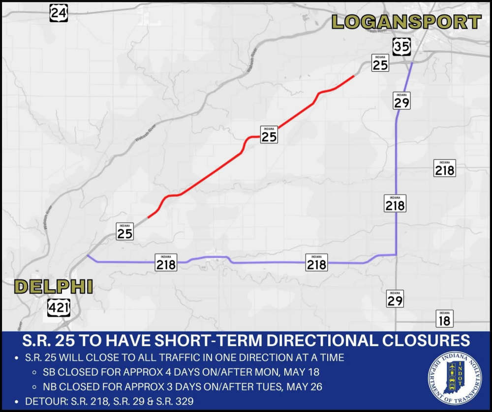 INDOT with directional closures on State Road 25 between U.S. 35 and State Road 218 for seal coating operations
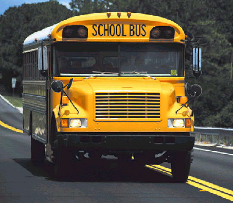 Eastern Pulaski to incorporate new tech to track school buses
 USDA requires SNAP authorized retailers to carry more real food
 Argos organizations partner with 'Sleep in Heavenly Peace' bed-building program
 Ivy Tech’s Kokomo Service Area celebrates Class of 2026 with four ceremonies
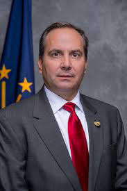 Indiana state senator working to legalize medical marijuana
 Serious injuries reported in a single motorcycle crash
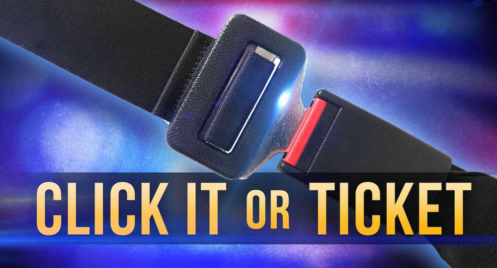 “Click It or Ticket” campaign reminds Hoosiers to buckle up