"
...WINTER WEATHER ADVISORY REMAINS IN EFFECT FROM 4 PM THIS_x000D_ AFTERNOON TO 10 AM EST TUESDAY..._x000D_ _x000D_ * WHAT...Freezing rain expected. Total ice accumulations of around_x000D_ one tenth of an inch with isolated spots up to two tenths._x000D_ _x000D_ * WHERE...Portions of central, north central, southwest and west_x000D_ central Indiana._x000D_ _x000D_ * WHEN...From 4 PM this afternoon to 10 AM EST Tuesday._x000D_ _x000D_ * IMPACTS...Difficult travel conditions are possible. The_x000D_ hazardous conditions could impact the morning commute._x000D_ _x000D_ * ADDITIONAL DETAILS...Freezing rain overspreads the region from_x000D_ west to east Monday evening. Heaviest freezing rain rates_x000D_ expecting during the overnight hours. Lower confidence exists_x000D_ in the transition time from freezing rain to rain as warmer_x000D_ air surges north Tuesday morning._x000D_ _x000D_ PRECAUTIONARY/PREPAREDNESS ACTIONS..._x000D_ _x000D_ Slow down and use caution while traveling. Prepare for possible_x000D_ power outages.
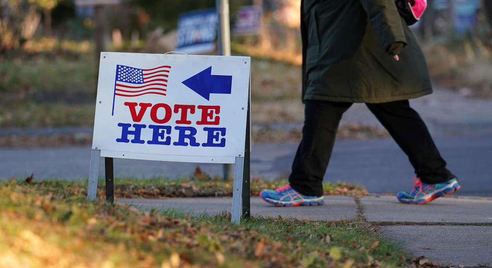 Final days of absentee voting ahead of Tuesday's primary
 Greencastle man arrested for his role in Decatur County shooting
 Shelby County Players auditioning for upcoming Agatha Christie production
 New online portal brings transparency to Indiana gas prices during declared energy emergency
 Reckless homicide charged in shooting death of Adalina Perez
 Southwestern's Newton earns IBCA scholarship
 Plan Commission approves site development plan for apartment complex
 City of Shelbyville announces month-long mental health awareness initiative