
"
...WINTER WEATHER ADVISORY REMAINS IN EFFECT FROM 4 PM THIS_x000D_ AFTERNOON TO 10 AM EST TUESDAY..._x000D_ _x000D_ * WHAT...Freezing rain expected. Total ice accumulations of around_x000D_ one tenth of an inch with isolated spots up to two tenths._x000D_ _x000D_ * WHERE...Portions of central, north central, southwest and west_x000D_ central Indiana._x000D_ _x000D_ * WHEN...From 4 PM this afternoon to 10 AM EST Tuesday._x000D_ _x000D_ * IMPACTS...Difficult travel conditions are possible. The_x000D_ hazardous conditions could impact the morning commute._x000D_ _x000D_ * ADDITIONAL DETAILS...Freezing rain overspreads the region from_x000D_ west to east Monday evening. Heaviest freezing rain rates_x000D_ expecting during the overnight hours. Lower confidence exists_x000D_ in the transition time from freezing rain to rain as warmer_x000D_ air surges north Tuesday morning._x000D_ _x000D_ PRECAUTIONARY/PREPAREDNESS ACTIONS..._x000D_ _x000D_ Slow down and use caution while traveling. Prepare for possible_x000D_ power outages.
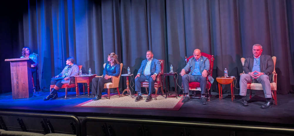 Panel discussion held with city leaders at Wortman Family Civic Theatre
 Heaven and Horseshoes Community Center prepares to open at Horseshoe Indianapolis
 Decatur and Bartholomew counties among grant recipients for cleanup, repair from Spring 2025 weather
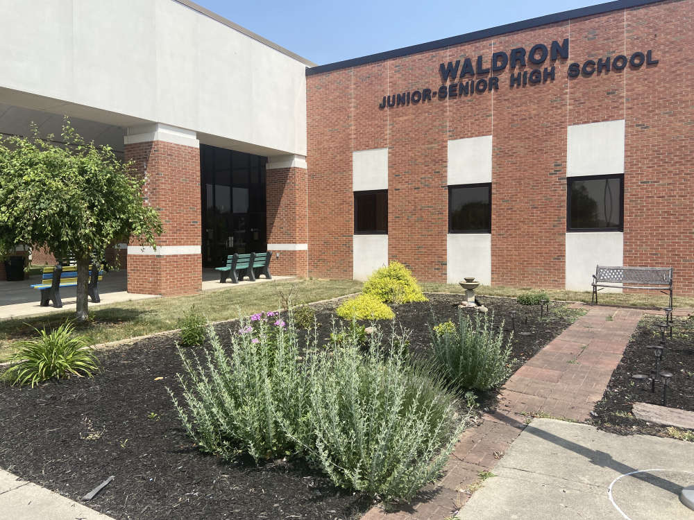 Waldron High School teacher died Wednesday
 Road renaming resolution co-authored by Criswell to honor Bobby Knight passes House
 Edinburgh Police Department’s K9 Batu has received donation of body armor
 Shelby County to go TRAVEL ADVISORY at 5 p.m. Wednesday
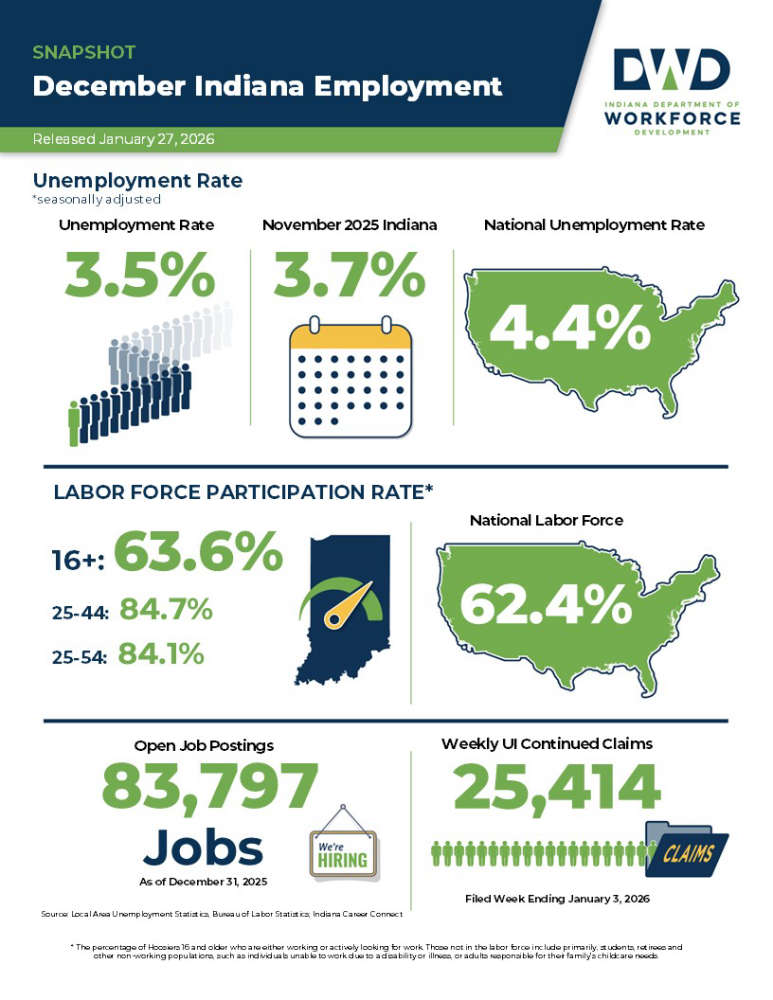 Indiana unemployment rate below national rate