
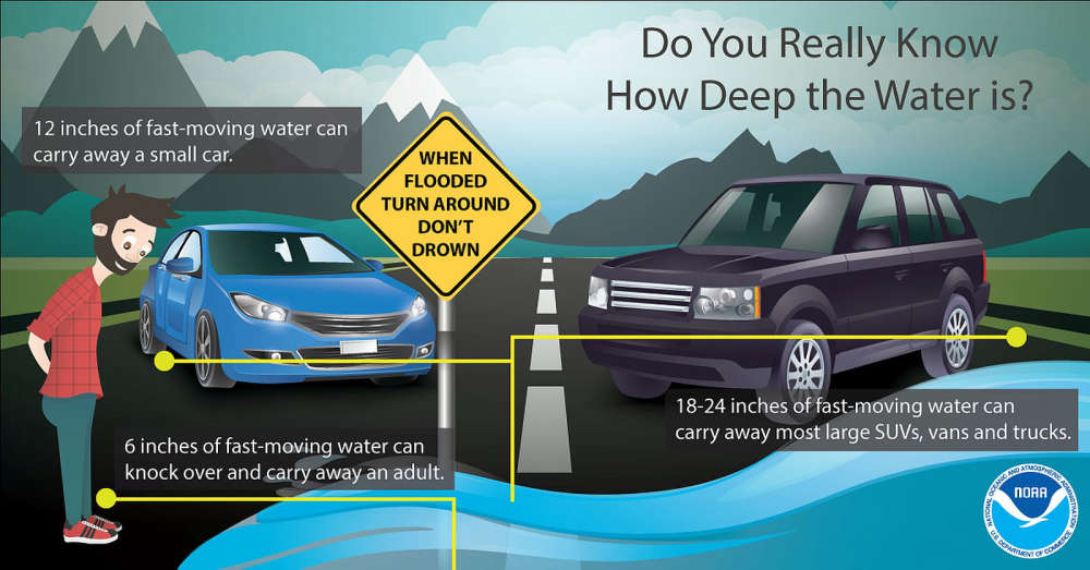
The Indiana Department of Transportation is prepared for severe storms, heavy rain, and widespread flooding expected to move across Indiana starting this afternoon and evening.
As of Wednesday morning, the National Weather Service (NWS) has issued flood watches for all Indiana counties south of a line extending from Terre Haute to Indianapolis, and Muncie. NWS is calling for potential double-digit rainfall totals in parts of the state, primarily in southern Indiana. Significant flash and river flooding is likely in these areas. Severe storms with damaging winds, hail, and possible tornadoes are anticipated Wednesday afternoon and evening, followed by widespread heavy rain and additional storms through the weekend.
INDOT operations crews are clearing drains and preparing equipment to close flooded state roads as conditions dictate. Personnel will be on standby throughout the event to address roadway issues that may arise.
Drivers are urged to follow “road closed” signs and barricades to avoid becoming stranded in flood waters. It is never safe to drive around barricades through high water – remember to Turn Around, Don’t Drown. Downed trees and power lines will also be possible due to heavily saturated ground and high winds.
 City of Shelbyville requests peaceful protest ahead of Wednesday's Common Council meeting
 Move Over, Pokémon: Shelby County Public Library announces collectible card-based literacy program
 Area teachers recognized by Indiana Pork
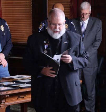 Indiana State Police seeks volunteer chaplains to support trooper wellness and resilience
 New Palestine man killed in Hancock County crash
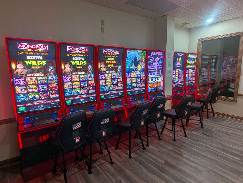 Knights of Columbus with electronic pull-tabs available for play in Shelbyville
 Mainstreet Shelbyville retiring Wine Walk/Sip on the Square event in 2026
 SCS to host Parent Workshop later this month