

News
The National Weather Service has issued a STRONG THUNDERSTORM WILL IMPACT MARSHALL COUNTY
at about 5:15 PM.
At 427 PM EDT/327 PM CDT/, Doppler radar was tracking a strong
thunderstorm near Ora, or 9 miles northeast of Winamac, moving
northeast at 30 mph.
HAZARD...Wind gusts up to 50 mph and half inch hail.
SOURCE...Radar indicated.
IMPACT...Gusty winds could knock down tree limbs and blow around
unsecured objects. Minor hail damage to vegetation is
possible.
Locations impacted include...
Plymouth, Bremen, Knox, Bourbon, Argos, Culver, Walnut, Tippecanoe,
Oak Grove, Monterey, Leiters Ford, Ober, Twin Lakes, Inwood, Rutland,
Burr Oak, Maxinkuckee, Hibbard, Winona, and Delong.
PRECAUTIONARY/PREPAREDNESS ACTIONS...
If outdoors, consider seeking shelter inside a building.
 GE Aerospace to make millions of dollars of investment in Terre Haute, Lafayette
 Phelps looks to claim Vermillion County Commissioner District 2 seat
 Rodney Atkins to perform at Putnam County Fairgrounds
 Smith looks to punch ticket to Rockville Town Board seat
 Safe Zones enforcement to resume on I-70 in Hancock Co., begin on I-65 in Jasper Co.
 IDHS focuses on raising awareness during Severe Weather Preparedness Week, March 8-14
 Parke Heritage to Martinsville, North Vermillion headed to Frankfort for boys regionals
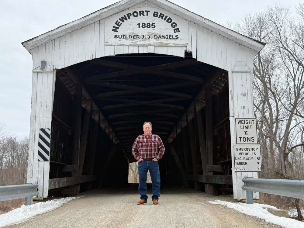
 Martin looks to bring experience to Parke County Commissioner District 2 Seat
 Penny-rounding for retailers
 No intentional wrongdoing alleged in crash blamed for death of US Rep. Baird’s wife
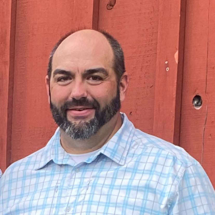
 Hoover looks to turn Parke County Commissioner District 2 seat Blue
 Indiana earns top credit rating from major agency
 Fairview Park receives OCRA grant to rehab water system
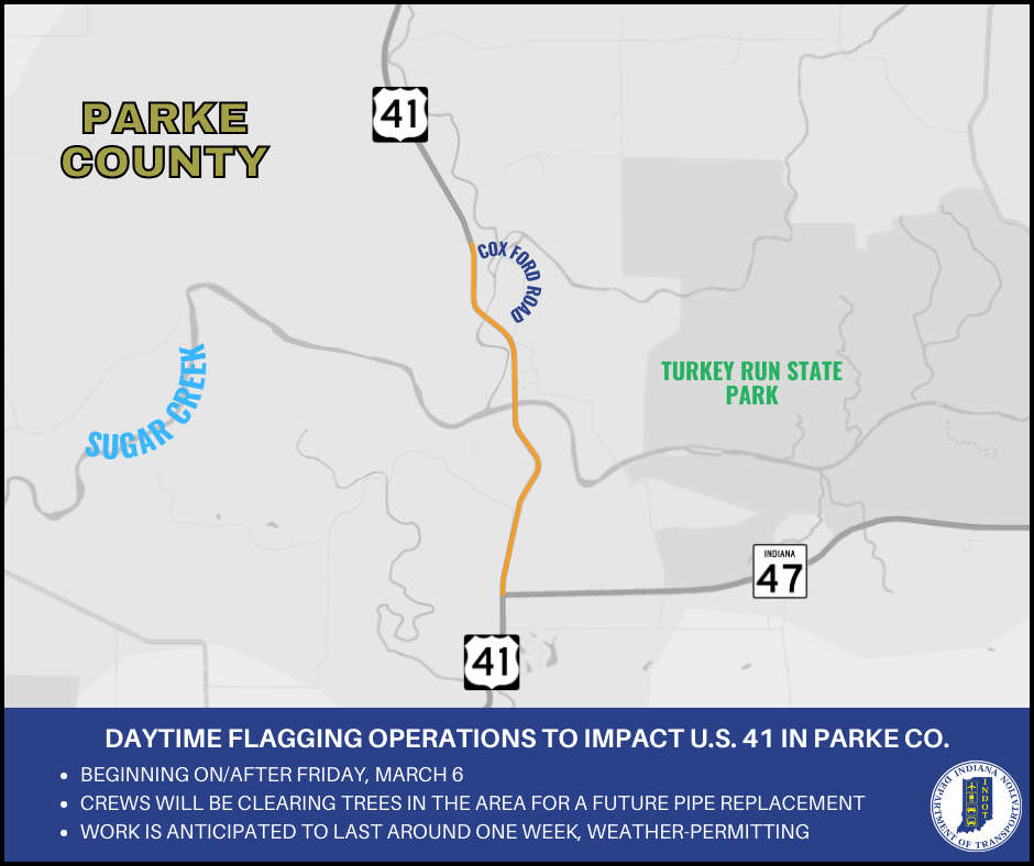 Daytime flagging operations to impact U.S. 41 for tree clearing for a future project
 Rosedale man charged with child molesting, soliciting
 Red Cross seeks donations to curb severe blood shortage
 Greencastle - Parke Heritage again, South Putnam vs Southmont on GIANT fm Sports
 Bill to increase access to veterinarians signed into law
 INDOT implements new roadway worker safety initiative: Project Greenlight