
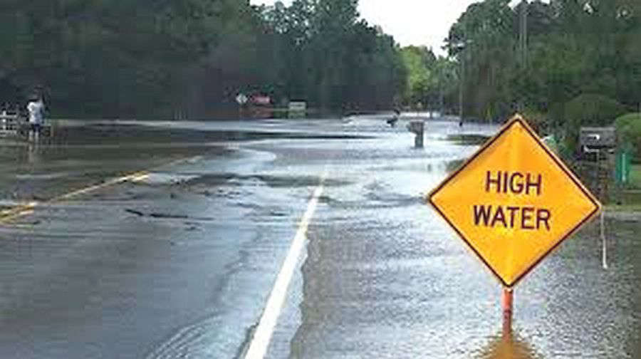
The National Weather Service (NWS) reports that a severe weather system rumbled through southeastern Illinois and southwestern Indiana Monday night with strong winds, hail, and heavy rainfall resulting in severe thunderstorm and tornado watches and warnings.
Warning sirens sounded off in Lawrenceville around 9:25 p.m. CT as the storms moved in from the west-southwest. Tornado warnings were issued for areas of southwestern, southern and southeastern Lawrence County. Most of the damage done was wind-related with downed trees blocking roadways and the heavy rains caused several streets and roads to flood. Scattered thundershowers are forecast for Tuesday evening, but severe weather is not likely, but additional rainfall up to over a half of an inch is possible.
The Embarras River is under a Flood Warning from Tuesday, April 28th through Monday May 4th due to 3 to 5 inches of rainfall that fell over portions of the lower river basin on Monday. It is rising and expected to reach above it's 30-foot flood stage Tuesday afternoon.
 Plymouth Police arrest 4 in 3 separate incidents Tuesday
 Bourbon woman arrested on felony residential entry charge after early morning 911 call
 Marshall County Emergency Management Agency awarded AARP Grant
 Mayor Listenberger hosts blood drive this Saturday at River Park Square as supplies run critically low
 NIPSCO accepting applications for Public Safety Education & Training Action Grant
 Plymouth Public Library hosts Free Car Cruise-In Thursday as Part of "Mission Readpossible", the Summer Reading Program
 Big Top Circus presented by Bee Window returns to the Indiana State Fair
 Step right up! Big Top Circus presented by Bee Window returns to the Indiana State Fair