

A strong and severe storm system rolled through Lawrence, Knox and other surrounding counties Wednesday evening and night.
It spawned numerous tornado and thunderstorm watches and warnings and downed trees and power lines with other widespread damage.
There were no initial reports of serious injuries.
Damage assessments are currently underway.
The National Weather Service (NWS) is continuing the Flood Watch for the region through Sunday, April 6th.
Additional rainfall in excess of 4 inches is likely through the period for multiple rounds of showers and thunderstorms.
Excessive runoff could result in the flooding of local and area rivers, creeks and streams.
Those residing in areas prone to flooding should monitor the latest weather conditions and be prepared to take action should flooding occur.
 New Space Force license plate design
 Project DARE of Marshall County announces essay contest winners
 Gov. Braun announces new Space Force license plate design
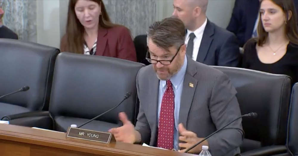 Young, Slotkin Lead bipartisan bill to stop insider trading from government officials on Prediction Markets
 Indiana National Guard Soldiers and Airmen Welcomed Home After Successful "DC Safe and Beautiful" Mission
 City Police arrest 2 for driving infractions Friday morning
 Cogressman Yakym supports ALERT Act in key aviation safety markup
 Master Trooper Detective Steve Nash Retires from the Indiana State Police