


The National Weather Service (NWS) reported strong storm activity in a weather system that swept through Lawrence County and the GIANT-FM listening area Sunday afternoon and evening.
There were severe thunderstorm warnings and tornado watches issued. The most intense storms occurred across south central Illinois into Indiana with extensive damage reported in the Springfield-Mount Zion areas and in Linton, Indiana where strong winds were believed responsible for a downtown building collapse. Varying amounts of wind damages were reported elsewhere across southeastern Illinois.
The system also brought a drastic dip in temperature with colder air moving in behind it. Wind chills are reported in the single digits in many locations with windy conditions continuing. Those heading outdoors should dress in layers and limit extended exposure to the cold.
 Less than two weeks left for Indiana residents to apply for FEMA assistance
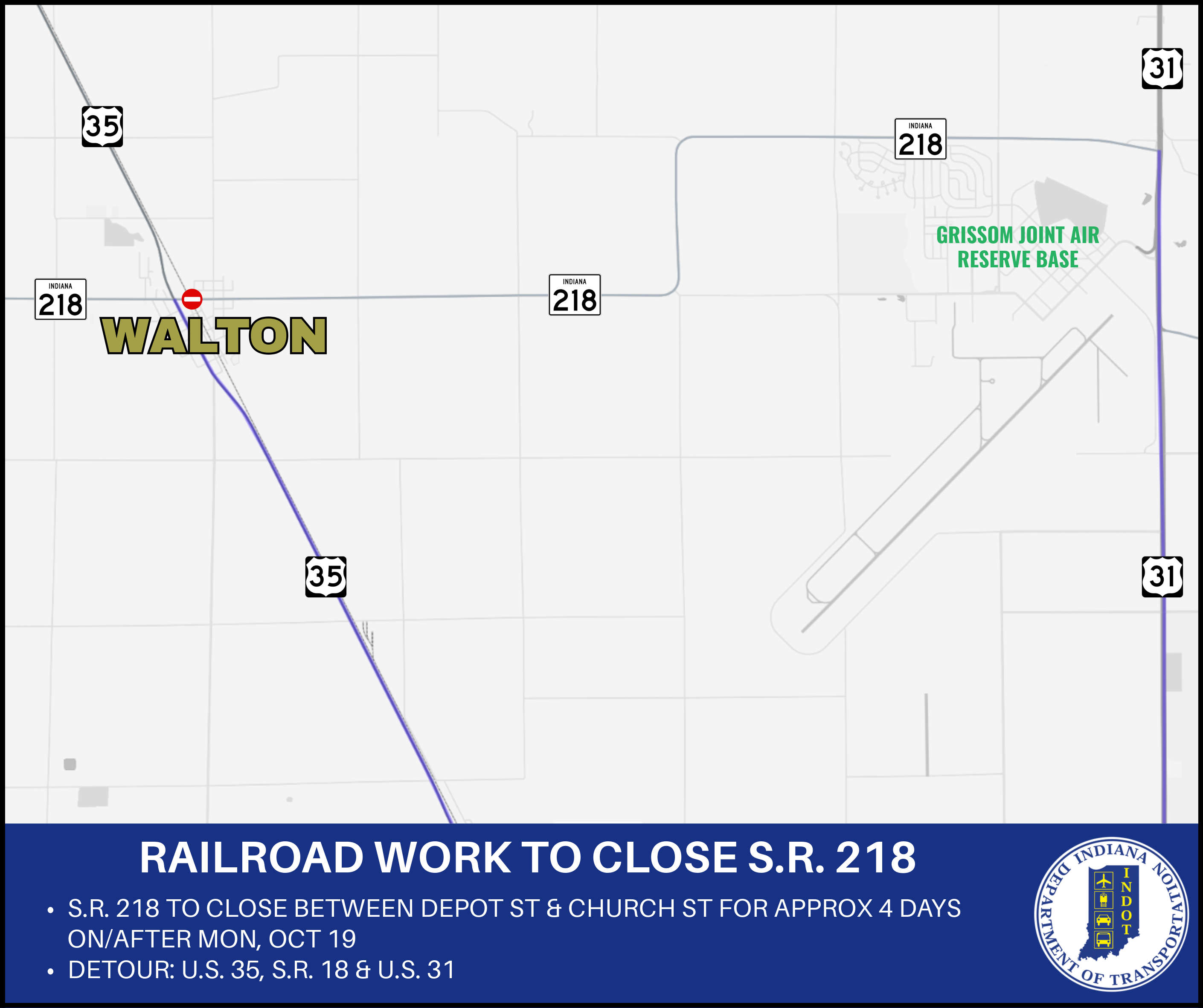 State Road 218 to close in Walton for railroad work
 Stay alert and share the road with farm equipment this fall
 Gas prices on the rise in Indiana
 Ivy Tech sets new record for completions
 Three Winamac students named finalists for Pulaski County Lilly Endowment Community Scholarship