The amount of snow in the forecast for the rest of this week may differ across geography and impact of the Winter Storm Warning that hangs over much of Northwest Indiana and into Michigan.
For Rochester and much of Fulton County the National Weather Service has issued a Severe Weather Statement that reports a band of snow showers across northeast Illinois moving into northwest Indiana. The combination of this snow and wind gusts of 30 to 35 mph will lead to rapid drops in visibilities, with visibilities briefly reduced to one half mile or less at times in the stronger bands of snow. In addition, a strong cold front dropping southeast will result in temperatures dropping into the mid and upper 20s by early afternoon. The combination of light snow accumulations of one half inch to an inch and these falling temperatures will likely lead to some slick spots on roadways.
Motorists should exercise caution and be prepared for rapid changes in travel conditions across short distances.
Just to the north, Marshall County and others are in the midst of a Winter Storm Warning with heavy lake effect snow expected. Four to eight inches of snow is possible with the highest amounts expected north of U.S. 30.
Roads, and especially bridges and overpasses, will likely become slick and hazardous. Visibilities may drop below a quarter-mile due to falling and blowing snow. Whiteout conditions are expected and will make travel treacherous and potentially life-threatening.
 Indiana AG reminds Hoosiers to be alert to signs of human trafficking
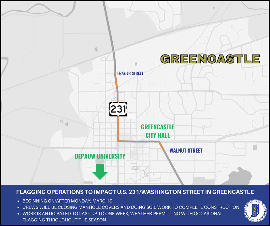 Intermittent flagging to impact U.S. 231 (Washington Street) in Greencastle
 Fuller Center seeks applicants for Greencastle home build
 Red Cross seeks donations to curb severe blood shortage
 Greencastle - Parke Heritage again, South Putnam vs Southmont on GIANT fm Sports
 Putnam County Friends of the NRA Banquet set for March
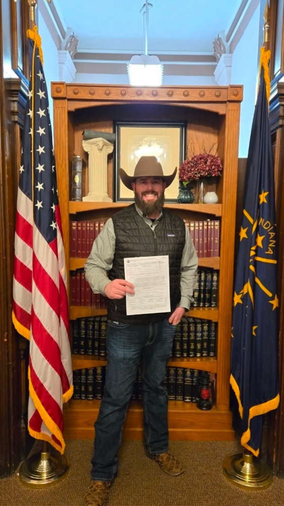 Cooper ready to run for Statehouse seat
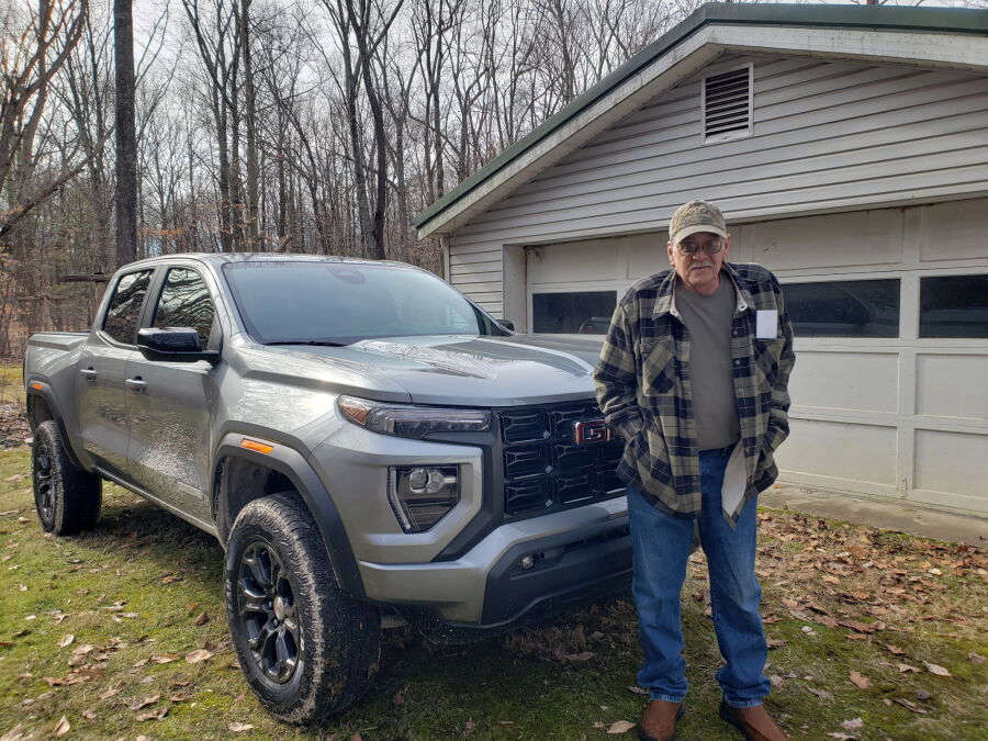
 Fidler ready to represent on Putnam County Council