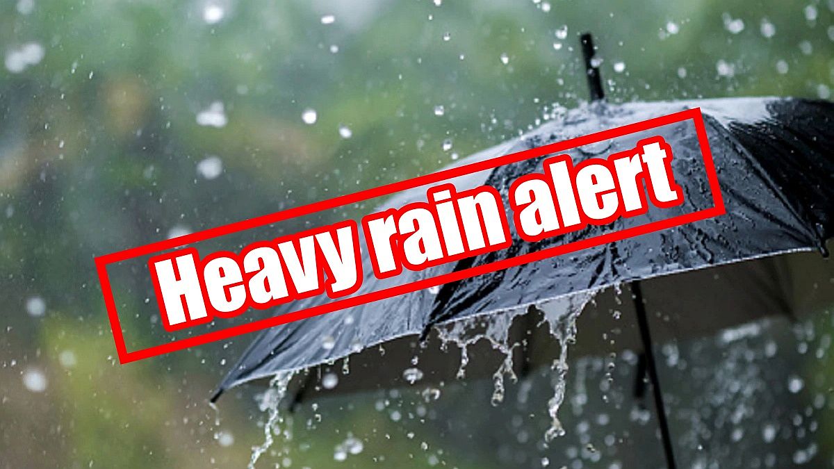
A storm system affecting the area late Thursday night into Friday is expected to bring between 1 and 2 inches of rainfall to the area. This will result in renewed concerns for flooding of low lying and flood prone areas. River levels remain elevated across much of the area, and additional heavy rainfall on Friday will aggravate flooding of rivers and streams. Rainfall totals of 3 to 5 inches were common over the past 2 events. High soil moisture with saturated soils will lead to a high runoff percentage. Much of this rain will be falling within a 12-hour window. Additionally, temperatures may be cold enough to support a wintry mix of snow, sleet, and freezing rain for northern locations late Thursday night into Friday morning, but confidence in impacts from winter weather remains low. Windy conditions will also accompany this storm, with wind gusts as high as 35 to 45 mph on Friday.
The Yellow River in Plymouth is currently at 10.82ft. and is currently expected to crest at 11.2ft. just above the "Action" stage. "Minor" flood stage is 13ft. At 13ft. the right bank of the river overflows with some city streets, low lying county roads. Low-lying agricultural areas may experience extreme ponding.
The Tippecanoe River at Ora is currently at 11.85ft. which is currently in the "Action" stage and is expected to crest at 11.9ft. just slightly under the "Minor" flood stage which is 12ft. At "Minor" flood stage significant flooding of low-lying areas and rural areas is occurring at 12.5 ft. flooding begins to effect residents who live near the river.
HREAT: Heavy rain - Strong Winds -Wintry mix (possible)
IMPACTS: Flooding of low-lying areas that are susceptible to flooding during heavy rain events. Ditches and creeks will see an increase in water levels. Ponding on road surfaces could cause hazardous driving conditions. Strong winds could cause damage to trees resulting in damage to utility lines and power outages.
PROTECTIVE ACTIONS: People living in flood-prone locations should move their vulnerable property to higher ground, closely monitor the forecast and be prepared to implement their family emergency plan and move to a safer location. While driving, be alert for water ponding on top of or near the edge of roads that may be difficult to see especially at night. Some roads may be closed due to high water. Never drive around roads that have been closed or barricaded. Never drive through water flowing across a road. Turn around and find a safer route. Be especially cautious at night when it is harder to recognize flood dangers. NEVER allow children to play around high water areas, ditches, or storm drains.
Stay weather aware by downloading the Marshall County IN APP to your smartphone.
 Knox woman arrested on outstanding warrant in Plymouth
 Ray Allison named next executive director of the Indiana State Fair Commission
 INvestABLE Indiana announces expanded eligibility criteria beginning January 1
 Governor Braun announces record year for Indiana tourism
 Rockville Parks Board continues working on quality of life improvements
 Indiana advances coal ash permitting program
 Indiana's state parks offer New Years Day events
 Rockville Council strips Clerk-Treasurer of Town Manager duties
 DNR receives regional award for project on former mine land near Pleasantville
 ISP shopping safety tips
 Riverton Parke's Emily Adams awarded the Lilly Endowment Community Scholarship for Parke County
 BMV announces Christmas and New Year's Day holiday hours
 Indiana launches Smart SNAP
 Indiana 211: Connecting Hoosiers to holiday support and essential resources
 Department of Homeland Security launches Worst of the Worst website
 Governor Braun takes action to waive hours-of-service regulations for transporting propane
 Two Indiana State Fair Commission executives elected to prominent national IAFE Positions, Indiana State Fair honored with multiple awards
 Cover Crop Premium Discount Program available for Hoosier farmers, new pre-enrollment available