

closed
The National Weather Service (NWS) says a Flood Watch remains in effect for the entire WAKO listening area through the remainder of Tuesday. There is the possibility of strong severe thunderstorm activity in the region with forecasts of perhaps 2 inches or more of rain forecast. Excessive runoff from this amount of rain may result in river, creek, stream and other low-lying locations flooding. Heavy rainfall late Monday night into Tuesday morning across the region will also added to the potential of flooding.
 Vermillion County DCS worker facing felonies
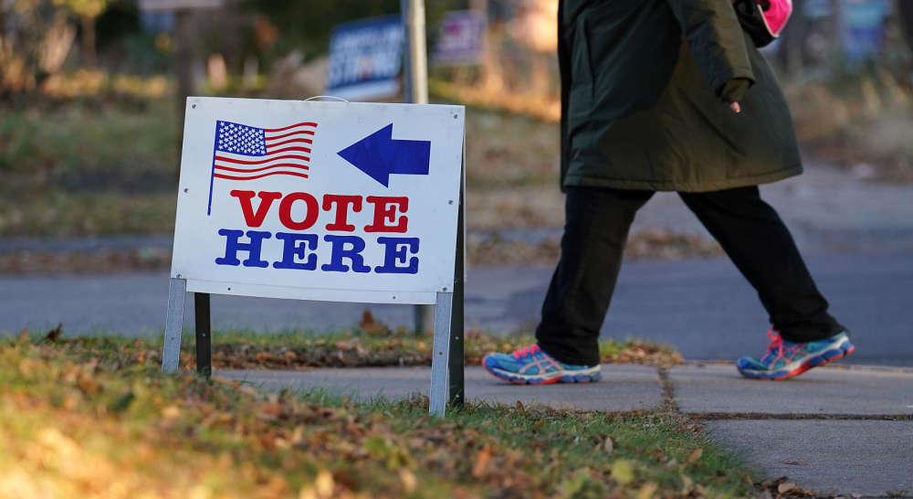 One week left to file for office in Indiana
 Bridge closures to impact State Road 42 over I-70 in Clay County
 Road renaming resolution co-authored by Criswell to honor Bobby Knight passes House
 Thrive West Central to host Utility Workshop
 Greene Realty continues to grow
 World Food Championships set for 2026 Indianapolis return
 SW Parke Community Schools looking at Revision Project
 NWS extends Winter Storm Warning to Monday morning
 IDHS activates State Emergency Operations Center in response to winter storm
 Scholarship Fund honors former Coach Blank
 Winter Storm Watch in effect for the weekend, heavy snow possible
 ISP releases Human Trafficking Awareness Initiative results
 Indiana House Page Program available during 2026 session
 Indiana State Police seeks volunteer chaplains to support trooper wellness and resilience
 American Red Cross urges the public to donate blood