

"
.DAY ONE...Today and Tonight._x000D_ _x000D_ A WIND ADVISORY is in effect from 1000 AM until 400 PM. Wind_x000D_ gusts of 40-45 mph will be possible today. Even higher gusts to_x000D_ near 55 mph will be possible this evening._x000D_ _x000D_ Light snow showers are possible Friday night into early Saturday,_x000D_ with accumulations near 1 inch possible. Snow combining with gusty_x000D_ winds may result in reduced visibility. Slick spots may develop_x000D_ on roads._x000D_ _x000D_ .DAYS TWO THROUGH SEVEN...Saturday through Thursday._x000D_ _x000D_ Wind gusts to around 40 mph will be possible on Saturday morning._x000D_ _x000D_ A prolonged period of frigid temperatures are expected Saturday_x000D_ night into next week. Air temperatures will fall to below zero for_x000D_ parts of the area Sunday night and Monday night. Wind chills may_x000D_ approach 20 below zero for parts of the area by Tuesday morning._x000D_ _x000D_ The bitterly cold temperatures will raise concerns for ice jams_x000D_ along area rivers and streams from late this weekend into next_x000D_ week.
 Semi driver airlifted after multi-vehicle crash on U.S. 30 at Oak Drive
 Plymouth Police make multiple arrests over busy weekend
 Falloween Fest Spectacular at JGHS this weekend
 USDA announces actions marking new era of Companion Animal Welfare
 BMV reminds Hoosiers that safety starts in the backseat
 Woodlawn Hospital provides notice of a data event, email investigation
 Plymouth man arrested after 911 hang-up calls lead police to River Park Square
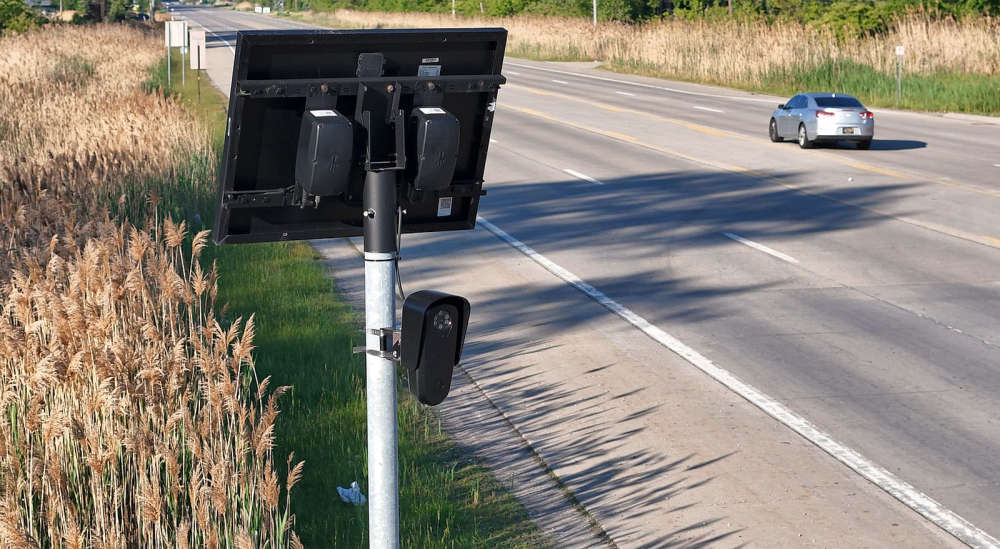 Citizens sound off on Flock cameras as commissioners consider contract's future